Monuments · 20th Century
Ehemaliges Mahnmal


© GeoBasis-DE / LVermGeoRP, dl-de/by-2-0
There is no picture of this object yet. Do you have a photo that you would like to make available to the Kulturdatenbank? Submit a picture
Description
This description is only available in German.
Translate with Google opens this page in Google Translate (external service)
Mahnmal des Reichsluftschutzbunds für die Trierer Opfer der Fliegerangriffe des Ersten Weltkriegs. Dieses Mahnmal stand ursprünglich seit 1934 in der Simeonstraße Höhe Calchera. Wie und wann es auf den Pferdemarkt kam, ist unklar. Ebenso der Verbleib des Mahnmals. [1]
Classification
- Subject area
- History
- Category
- Markers and Monuments
- Object type
- Monuments
- Date
- 1945
- Period
- 20th Century
Location
- District
- City of Trier
- Collective municipality
- Verbandsfreie Gemeinde Trier
- Town
- Trier
- Locality / location
- Mitte-Gartenfeld
- Street
- Kutzbachstraße
- Field name
- Ortslage
- Coordinates
- WGS 84: 49.759408, 6.639400 (Position: exact) WGS 84: 49° 45′ 33.9″ N, 6° 38′ 21.8″ E UTM 32 (ETRS89): E 329988 · N 5514555
Sources
Data sources
- [1] Ernst Mettlach auf facebook: Treierer Zeitgeschichte in Bildern, 2023.
On the internet
Last edited: 13 Mar 2023 Object ID: 2253
https://kulturdb.de/en/objekt/2253-trier-ehemaliges-mahnmal
Nearby
The nearest objects
Settlements
Ehemaliger Mauerzug Walramsneustraße
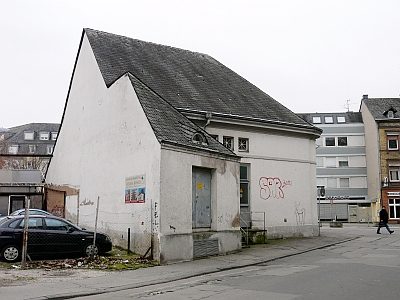 less than 10 m
Extraction and Processing of Raw Materials
Transformatorenhaus
Monastic Complexes
Ehemalige Klosterkirche Sankt Anna
Extraction and Processing of Raw Materials
Stapelplatz des mittelalterlichen Trier
 30 m
Wayside Shrines and Stations of the Cross
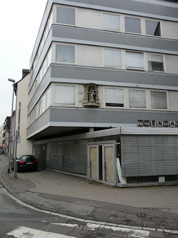
Sandsteinfigur einer Immakulata
 30 m
Town Houses and Commercial Buildings
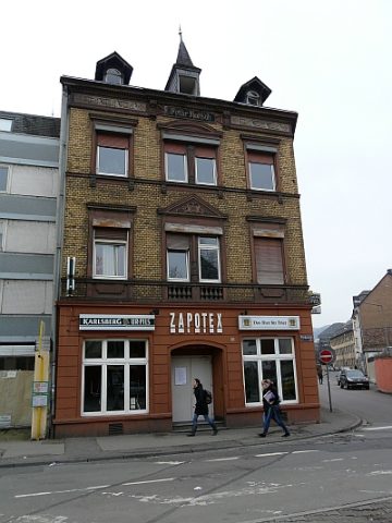
Wohn- und Geschäftshaus (1)
Street Names
Henkersgässchen auch Schindergasse
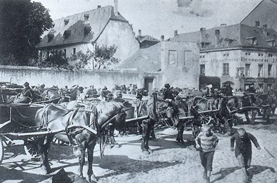 40 m
Historic Townscapes