Residential and Farm Buildings · Renaissance
Ehemaliger Kurfürstlicher Marstall


© GeoBasis-DE / LVermGeoRP, dl-de/by-2-0
There is no picture of this object yet. Do you have a photo that you would like to make available to the Kulturdatenbank? Submit a picture
Description
This description is only available in German.
Translate with Google opens this page in Google Translate (external service)
Renaissancegebäude. Abbruch aus verschiedenen Gründen und Kriegszerstörungen. [1]
Classification
- Subject area
- Archaeological Monuments
- Category
- Residential and Farm Buildings
- Date
- Circa 1500 bis circa 1700
- Period
- Renaissance
Location
- District
- City of Trier
- Collective municipality
- Verbandsfreie Gemeinde Trier
- Town
- Trier
- Locality / location
- Mitte-Gartenfeld
- Street
- Willy-Brandt-Platz
- Field name
- Ortslage
- Coordinates
- WGS 84: 49.753878, 6.644410 (Position: exact) WGS 84: 49° 45′ 14.0″ N, 6° 38′ 39.9″ E UTM 32 (ETRS89): E 330329 · N 5513929
Sources
Data sources
- [1] Helmut Lutz: Verzeichnis der seit 1930 untergegangenen denkmalwerten Bauanlagen. Denkmalpflege in Trier (1975) Hrsg.: Städtische Denkmalpflege
On the internet
Last edited: 17 May 2000 Object ID: 2265
https://kulturdb.de/en/objekt/2265-trier-ehemaliger-kurfuerstlicher-marstall
Nearby
The nearest objects
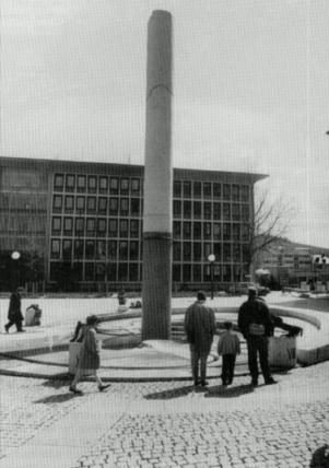 10 m
Works of Art
Wasseruhrbrunnen
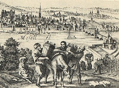 20 m
Vineyard Sites
Beim Hof Weilerbettnach
 30 m
Monuments
Gedenktafel für Willy Brandt
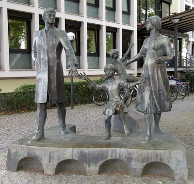 40 m
Works of Art
Die Familie
 40 m
Schools
Ehemalige Hildegardisschule - historische Fotos
 60 m
Town Houses and Commercial Buildings
Gebäude Banthusstraße 5
 60 m
Manorial Residences and Estate Buildings
Kurfürstliches Palais - Ostfassade
 60 m
Canons' Houses (Curiae)