Residential and Farm Buildings · Baroque / Rococo
Ehemaliges Lagerhaus Auf dem Platz 15
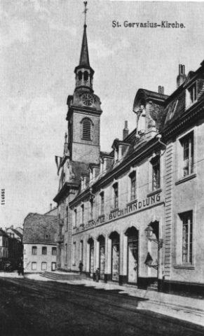
Heute: Gervasiusstraße


© GeoBasis-DE / LVermGeoRP, dl-de/by-2-0
There is no picture of this object yet. Do you have a photo that you would like to make available to the Kulturdatenbank? Submit a picture
Description
This description is only available in German.
Translate with Google opens this page in Google Translate (external service)
Barockes Gebäude. Im Krieg zerstört. [1]
Classification
- Subject area
- Archaeological Monuments
- Category
- Residential and Farm Buildings
- Date
- Circa 1700 bis circa 1780
- Period
- Baroque / Rococo
Location
- District
- City of Trier
- Collective municipality
- Verbandsfreie Gemeinde Trier
- Town
- Trier
- Locality / location
- Mitte-Gartenfeld
- Street
- Auf dem Platz 15
- Field name
- Ortslage
- Coordinates
- WGS 84: 49.751496, 6.639341 (Position: presumed) WGS 84: 49° 45′ 05.4″ N, 6° 38′ 21.6″ E UTM 32 (ETRS89): E 329956 · N 5513676
Sources
Data sources
- [1] Helmut Lutz: Verzeichnis der seit 1930 untergegangenen denkmalwerten Bauanlagen. Denkmalpflege in Trier (1975) Hrsg.: Städtische Denkmalpflege
On the internet
Last edited: 31 Mar 2010 Object ID: 2278
https://kulturdb.de/en/objekt/2278-trier-ehemaliges-lagerhaus-auf-dem-platz-15
Nearby
The nearest objects
 less than 10 m
Street Names
Gervasiusstraße
Town Houses and Commercial Buildings
Ehemaliges Wohnhaus Auf dem Platz 12
Town Houses and Commercial Buildings
Ehemaliges Bürgerhaus Pfützenstraße 5
 50 m
Town Houses and Commercial Buildings
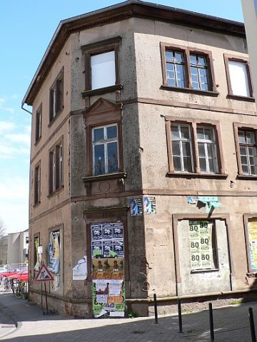
Haus Ecke Wechselstraße/Gervasiusstraße
Town Houses and Commercial Buildings
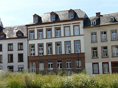
Ehemalige Bürgerhäuser Germanstraße 9-11
 60 m
Wayside Shrines and Stations of the Cross
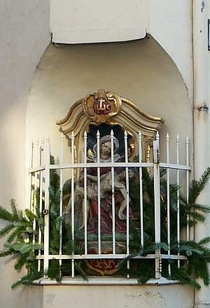
Pietà
House Names
Zur Geldmünz
 60 m
Town Houses and Commercial Buildings