Wayside Shrines and Stations of the Cross · Undated
Kreuz an der Bunkerwand


Classification
- Subject area
- Architectural and Art Monuments
- Category
- Religious Buildings
- Object type
- Wayside Shrines and Stations of the Cross
- Date
- Undatiert
- Period
- Undated
Location
- District
- Eifelkreis Bitburg-Prüm
- Collective municipality
- Arzfeld
- Municipality
- Eschfeld
- Field name
- Am Thonhüfel
- Coordinates
- WGS 84: 50.117545, 6.199118 (Position: exact) WGS 84: 50° 07′ 03.2″ N, 6° 11′ 56.8″ E UTM 32 (ETRS89): E 299773 · N 5555457
Sources
Data sources
- [1] Uwe Widera, 54550 Daun, 2011.
On the internet
Picture credits
Last edited: 21 May 2011 Object ID: 23148
https://kulturdb.de/en/objekt/23148-eschfeld-kreuz-an-der-bunkerwand
Nearby
The nearest objects
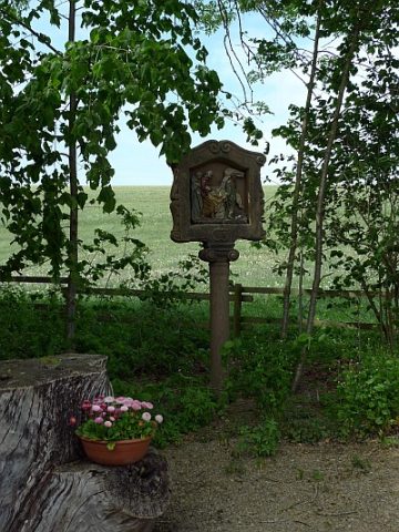 less than 10 m
Wayside Shrines and Stations of the Cross
Bunkerwand-Kreuzweg - 14. Station
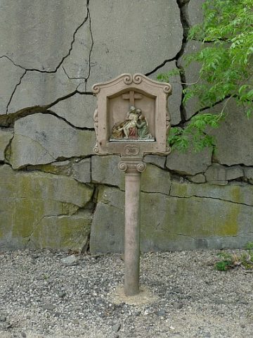 less than 10 m
Wayside Shrines and Stations of the Cross
Bunkerwand-Kreuzweg - 13. Station
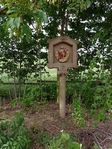 less than 10 m
Wayside Shrines and Stations of the Cross
Bunkerwand-Kreuzweg - 15. Station
No picture
less than 10 m
Fortresses and Bunkers
Westwall - Bunker ohne Kampfraum
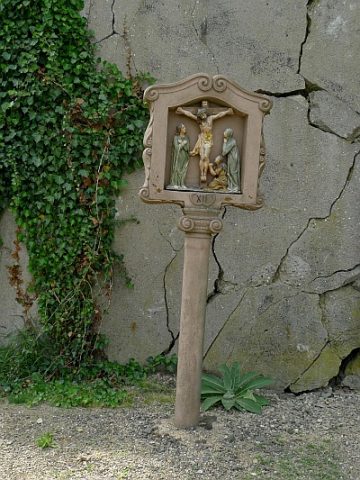 less than 10 m
Wayside Shrines and Stations of the Cross
Bunkerwand-Kreuzweg - 12. Station
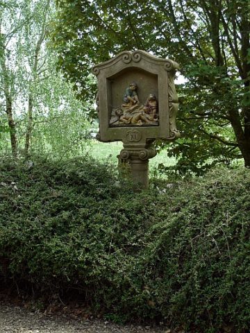 20 m
Wayside Shrines and Stations of the Cross
Bunkerwand-Kreuzweg - 11. Station
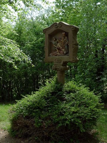 20 m
Wayside Shrines and Stations of the Cross
Bunkerwand-Kreuzweg - 10. Station
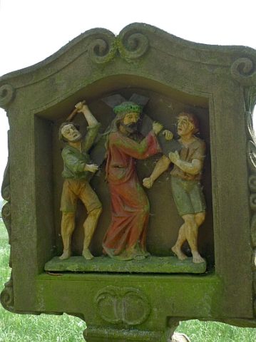 30 m
Wayside Shrines and Stations of the Cross