Wayside Shrines and Stations of the Cross · Neoclassicism
Kreuzigungsbildstock
- Listed monument

Description
This description is only available in German.
Translate with Google opens this page in Google Translate (external service)
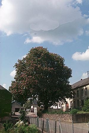
Knapp einen Meter hoher Sandsteinausatz mit dem Relief der Kreuzigungsgruppe. Am Fussteil der Stifername Johannes Dahm und die Jahreszahl 1812. [1]
Classification
- Subject area
- Architectural and Art Monuments
- Category
- Religious Buildings
- Object type
- Wayside Shrines and Stations of the Cross
- Date
- 1812
- Period
- Neoclassicism
Location
- District
- Trier-Saarburg
- Collective municipality
- Trier-Land
- Municipality
- Langsur
- Locality / location
- Mesenich
- Street
- Hauptstraße
- Field name
- Ortslage
- Coordinates
- WGS 84: 49.727397, 6.513712 (Position: within the village) WGS 84: 49° 43′ 38.6″ N, 6° 30′ 49.4″ E UTM 32 (ETRS89): E 320819 · N 5511289
Sources
Data sources
- [1] Denkmaltopographie Bundesrepublik Deutschland. Kulturdenkmäler in Rheinland-Pfalz. Band 12.2 Kreis Trier-Saarburg. Wernersche Verlagsgesellschaft mbH, Worms. ISBN 3-88462-110-6 (1. Auflage 1994).
On the internet
Picture credits
- Picture 1: © Helge Rieder, Konz, 2000
Last edited: 20 May 2000 Object ID: 2316
https://kulturdb.de/en/objekt/2316-langsur-kreuzigungsbildstock
Nearby
The nearest objects
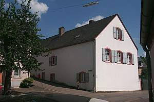 10 m
Farmhouses and Farm Buildings
Pfarrhof
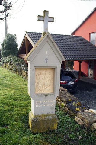 60 m
Wayside Shrines and Stations of the Cross
Kreuzweg in die Weinberge - 1. Station
Farmhouses and Farm Buildings
Quereinhaus
Mills
Ehemalige Sturmsmühle
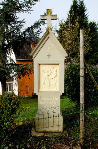 100 m
Wayside Shrines and Stations of the Cross
Kreuzweg in die Weinberge - 2. Station
 110 m
Farmhouses and Farm Buildings
Quereinhaus
 120 m
Chestnut Trees
Rosskastanie
Vineyard Sites