Settlements · Celtic / Roman Period
Reste einer römischen Villa

Description
This description is only available in German.
Translate with Google opens this page in Google Translate (external service)
Bei der Planung hat man übersehen, dass sich im Neubaugebiet schon ein Altbaugebiet befand, nämlich die unterirdischen Reste einer römischen Villa.
[Dr. Christian Credner, Lambertsberg, 2009. http://www.flickr.com/photos/36577363@N04]
Classification
- Subject area
- Archaeological Monuments
- Category
- Settlements
- Object type
- Settlements
- Date
- Circa 500 vor Chr. bis circa 500 nach Chr.
- Period
- Celtic / Roman Period
Location
- District
- Eifelkreis Bitburg-Prüm
- Collective municipality
- Arzfeld
- Municipality
- Waxweiler
- Street
- Am Hüttenberg
- Field name
- Ortslage
- Coordinates
- WGS 84: 50.089420, 6.362814 (Position: exact) WGS 84: 50° 05′ 21.9″ N, 6° 21′ 46.1″ E UTM 32 (ETRS89): E 311363 · N 5551904
Sources
Data sources
- Dr. Christian Credner, Lambertsberg, 2009. http://www.flickr.com/photos/36577363@N04
On the internet
flickr.com/photos/36577363@N04
Picture credits
- Picture 1: © Dr. Christian Credner, Lambertsberg, 2009. http://www.flickr.com/photos/36577363@N04
Last edited: 13 Jun 2011 Object ID: 23231
https://kulturdb.de/en/objekt/23231-waxweiler-reste-einer-roemischen-villa
Nearby
The nearest objects
Settlements
Römische Villenanlage
Field Names
Auf der Kehr
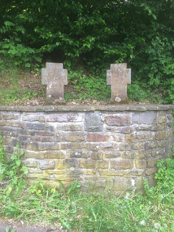 170 m
War Memorials
Kriegsgefallenenkreuze
 180 m
Wayside Shrines and Stations of the Cross
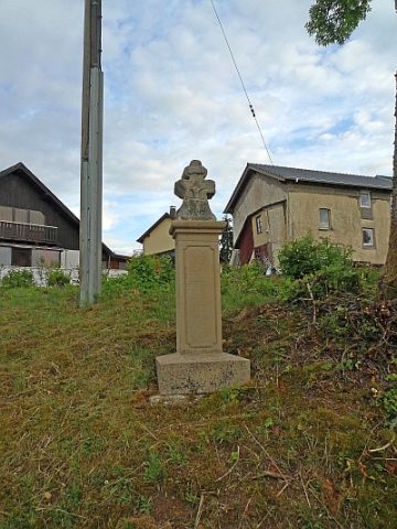
Kreuz
 230 m
Extraction and Processing of Raw Materials
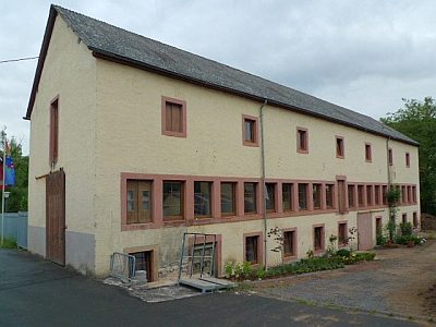
Ehemalige Lohgerberei Grimbach
 230 m
Viewpoints
Ausblick von Schmelzbergbrücke
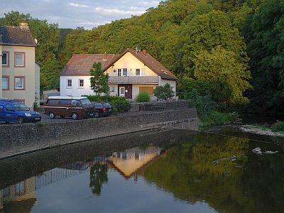 230 m
Mills
Ehemalige Mühle Hack im Prümtal
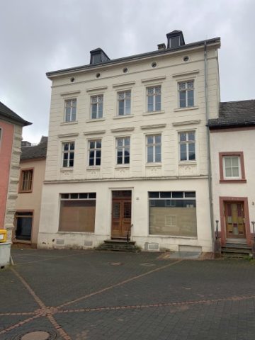 260 m
Farmhouses and Farm Buildings