War Cemeteries · 20th Century
Ehrenfriedhof an der Pfarrkirche
- Listed monument


Classification
- Subject area
- Natural Features
- Category
- Parks, Gardens and Cemeteries
- Object type
- War Cemeteries
- Date
- Nach 1945
- Period
- 20th Century
Location
- District
- Eifelkreis Bitburg-Prüm
- Collective municipality
- Arzfeld
- Municipality
- Eschfeld
- Street
- Kirchweg 8
- Field name
- Ortslage
- Coordinates
- WGS 84: 50.112407, 6.200900 (Position: exact) WGS 84: 50° 06′ 44.7″ N, 6° 12′ 03.2″ E UTM 32 (ETRS89): E 299879 · N 5554881
Sources
Data sources
- [1] Uwe Widera, 54550 Daun, 2011.
On the internet
Picture credits
Last edited: 2 Jul 2011 Object ID: 23270
https://kulturdb.de/en/objekt/23270-eschfeld-ehrenfriedhof-an-der-pfarrkirche
Nearby
The nearest objects
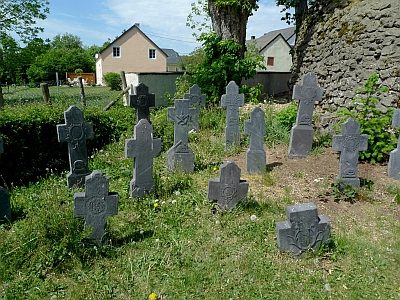 10 m
Burial Sites
Sankt Luzia - Schiefer-Grabkreuze
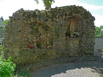 10 m
Marian Grottoes
Mariengrotte vor der Pfarrkirche
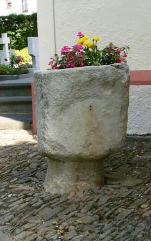 10 m
Catholic Churches
Sankt Luzia - Taufstein
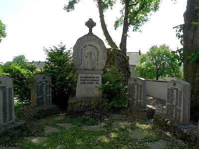 20 m
War Memorials
Kriegerdenkmal
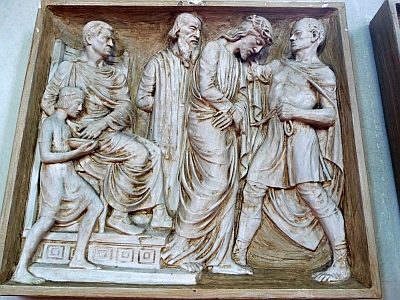 20 m
Catholic Churches
Sankt Luzia - Kreuzwegstationen
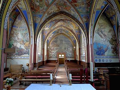 20 m
Catholic Churches
Sankt Luzia - Ausmalung am Eingang
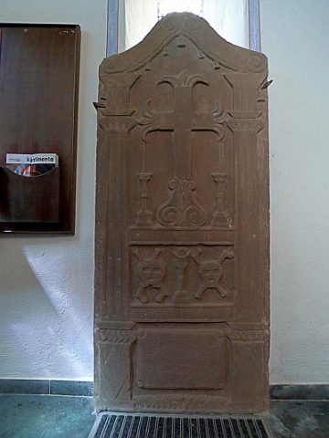 20 m
Burial Sites
Sankt Luzia - Pfarrergrabsteine im Vorraum
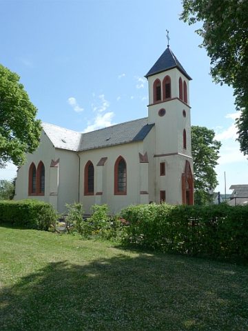 20 m
Catholic Churches