Wayside Shrines and Stations of the Cross · Undated
Bildstock


Classification
- Subject area
- Architectural and Art Monuments
- Category
- Religious Buildings
- Object type
- Wayside Shrines and Stations of the Cross
- Date
- Undatiert
- Period
- Undated
Location
- District
- City of Trier
- Collective municipality
- Verbandsfreie Gemeinde Trier
- Town
- Trier
- Locality / location
- Mitte-Gartenfeld
- Street
- Bei Langstraße 10
- Field name
- Ortslage
- Coordinates
- WGS 84: 49.758921, 6.634773 (Position: exact) WGS 84: 49° 45′ 32.1″ N, 6° 38′ 05.2″ E UTM 32 (ETRS89): E 329653 · N 5514512
Sources
Data sources
- [1] Peter Valerius, Kordel, 2011.
On the internet
de.wikipedia.org/wiki/Trier-Mitte/Gartenfeld
Picture credits
Last edited: 27 Aug 2011 Object ID: 23467
https://kulturdb.de/en/objekt/23467-trier-bildstock
Nearby
The nearest objects
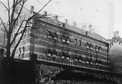 10 m
Prisons
Ehemaliges Militärarresthaus Langstraße
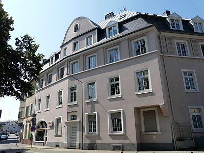 30 m
Town Houses and Commercial Buildings
Haus Paulusplatz 6
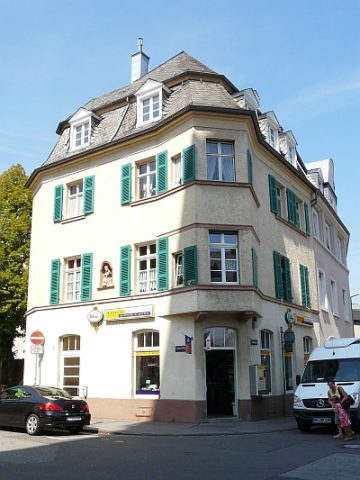 50 m
Town Houses and Commercial Buildings
Haus Kalenfelsstraße 7
No picture
50 m
Street Names
Kalenfelsstraße
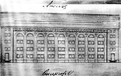 60 m
Catering, Inns and Hotels
Ehemaliges Magazin Proviantamt Langstraße
No picture
60 m
Medieval Tower Houses
Ehemaliges Turmhaus
 60 m
Manorial Residences and Estate Buildings
Ruländer Hof - Gartenpavillon
No picture
60 m
Town Houses and Commercial Buildings