Field Names · Neoclassicism
In Thommesdell


© GeoBasis-DE / LVermGeoRP, dl-de/by-2-0
There is no picture of this object yet. Do you have a photo that you would like to make available to the Kulturdatenbank? Submit a picture
Description
This description is only available in German.
Translate with Google opens this page in Google Translate (external service)
Flurnamen auf "dell", "dellt".
Kommt der Name "Dell" von "Delle"? Es ist anzunehmen, da die Landschaftsform dies zu bejahen gestattet. Eine "Dell" ist eine Senke oder Vertiefung. In Pronsfeld trifft diese Vertiefung zumeist für Höhenlagen im Osten des Dorfes zu. Beispiele hierfür sind "In der Finkendell", "In Thommesdell", "In der Kirchdell", "In der Galgendellt", "Auf Wöltgesdellt". Westlich im Alfbachtal finden wir dann noch eine Bezeichnung: "In Heiderbüschdellt". Für alle Lagen gilt: Sie sind wasserreich und fruchtbar -und das in Bergeshöhe. Im letzten Fall bezeichnet eine bewaldete Stelle die Dell, ansonsten sind es Familiennamen, die die Parzelle konkretisieren.
Classification
- Subject area
- History
- Category
- Field Names
- Date
- 1882
- Period
- Neoclassicism
Location
- District
- Eifelkreis Bitburg-Prüm
- Collective municipality
- Prüm
- Municipality
- Pronsfeld
- Field name
- In Thomesdell
- Coordinates
- WGS 84: 50.152155, 6.362558 (Position: exact) WGS 84: 50° 09′ 07.8″ N, 6° 21′ 45.2″ E UTM 32 (ETRS89): E 311591 · N 5558879
Sources
Data sources
- Flurnamen in Pronsfeld. Http://www.joachim-schroeder.com/html/flurnamen.html
On the internet
Last edited: 18 Oct 2017 Object ID: 23485
https://kulturdb.de/en/objekt/23485-pronsfeld-in-thommesdell
Nearby
The nearest objects
Fortresses and Bunkers
Westwall - Schartenstand
Fortresses and Bunkers
Westwall - Schartenstand
Field Names
In der Finkendell
Field Names
In Tomesdell
Field Names
In der Rothenbach
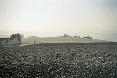 440 m
Execution Sites
Gerichtsstätte auf dem Galgenberg
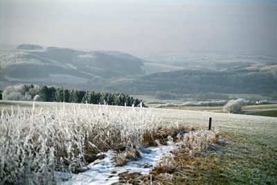 440 m
Viewpoints
Aussichtspunkt Galgenberg
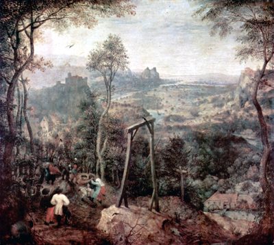 460 m
Field Names