Town Houses and Commercial Buildings · Renaissance
Ehemaliges Bürgerhaus Matthiasstraße 28


© GeoBasis-DE / LVermGeoRP, dl-de/by-2-0
There is no picture of this object yet. Do you have a photo that you would like to make available to the Kulturdatenbank? Submit a picture
Description
This description is only available in German.
Translate with Google opens this page in Google Translate (external service)
Giebelwohnhaus, 16. Jahrhundert. Im Krieg zerstört. [1]
Classification
- Subject area
- Archaeological Monuments
- Category
- Residential and Farm Buildings
- Object type
- Town Houses and Commercial Buildings
- Date
- 16. Jahrhundert
- Period
- Renaissance
Location
- District
- City of Trier
- Collective municipality
- Verbandsfreie Gemeinde Trier
- Town
- Trier
- Locality / location
- Trier-Süd
- Street
- Matthiasstraße 28
- Field name
- Ortslage
- Coordinates
- WGS 84: 49.740485, 6.632273 (Position: exact) WGS 84: 49° 44′ 25.7″ N, 6° 37′ 56.2″ E UTM 32 (ETRS89): E 329408 · N 5512468
Sources
Data sources
- [1] Helmut Lutz: Verzeichnis der seit 1930 untergegangenen denkmalwerten Bauanlagen. Denkmalpflege in Trier (1975) Hrsg.: Städtische Denkmalpflege
On the internet
Last edited: 18 May 2000 Object ID: 2351
https://kulturdb.de/en/objekt/2351-trier-sued-ehemaliges-buergerhaus-matthiasstrasse-28
Nearby
The nearest objects
 40 m
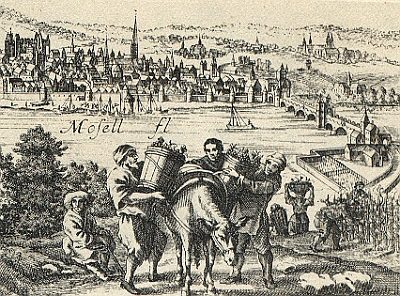
Vineyard Sites
Porta Media (na)
 100 m
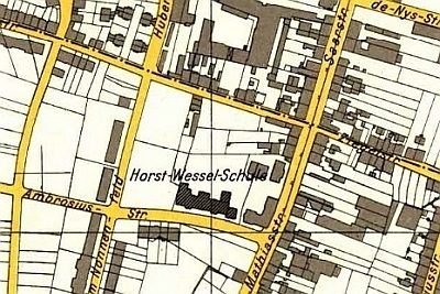
Schools
Ehemalige Horst-Wessel-Schule
 110 m
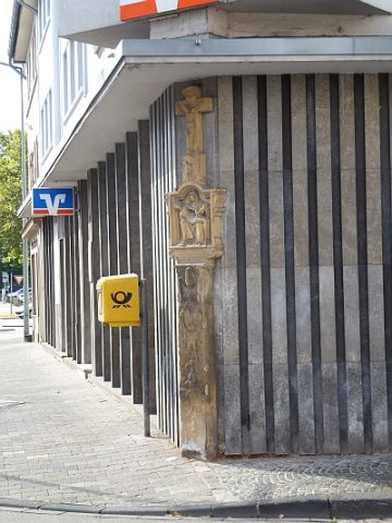
Wayside Shrines and Stations of the Cross
Schaftkreuz
Jewish History
Jüdische Geschichte Matthias
 130 m
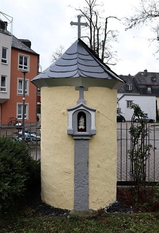
Wayside Shrines and Stations of the Cross
Nischenkreuz an einer Wegekapelle
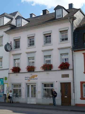 130 m
Town Houses and Commercial Buildings
Haus Matthiasstraße 67
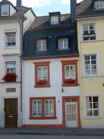 130 m
Town Houses and Commercial Buildings
Haus Matthiasstraße 69
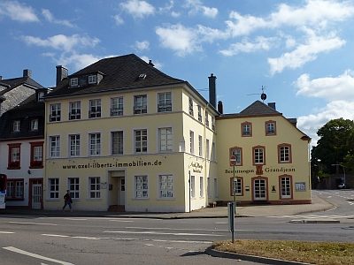 140 m
Town Houses and Commercial Buildings