Catholic Churches · Early Middle Ages / Romanesque
Dom - Ostkrypta (Helenakrypta)
Dom Sankt Peter
- UNESCO World Heritage
- Protection of cultural property (Hague Convention)
- Listed monument


Description
This description is only available in German.
Translate with Google opens this page in Google Translate (external service)
Die spätromanische Ostkrypta erstreckt sich mit 2 x 3 kreuzgratgewölbten Jochen unter dem Chor und mit der selben Jochanzahl unter der polygonalen Apsis. Die Halle Vierpaßsäulen mit quadratischem Kern gegliedert. [1]
Classification
- Subject area
- Architectural and Art Monuments
- Category
- Religious Buildings
- Object type
- Catholic Churches
- Date
- Circa 500 nach Chr. bis circa 1220
Location
- District
- City of Trier
- Collective municipality
- Verbandsfreie Gemeinde Trier
- Town
- Trier
- Locality / location
- Mitte-Gartenfeld
- Street
- Domfreihof
- Field name
- Ortslage
- Coordinates
- WGS 84: 49.756080, 6.644143 (Position: exact) WGS 84: 49° 45′ 21.9″ N, 6° 38′ 38.9″ E UTM 32 (ETRS89): E 330318 · N 5514175
Sources
Data sources
- [1] Denkmaltopographie Bundesrepublik Deutschland. Kulturdenkmäler in Rheinland-Pfalz. Band 17.1 Stadt Trier - Altstadt. Wernersche Verlagsgesellschaft mbH, Worms. ISBN 3-88462-171-8 (1. Auflage 2001)
On the internet
Picture credits
Last edited: 25 Sep 2011 Object ID: 23573
https://kulturdb.de/en/objekt/23573-trier-dom-ostkrypta-helenakrypta
Nearby
The nearest objects
 less than 10 m
Catholic Churches
Orgeltribüne im Dom
 less than 10 m
Epitaphs
Dom - Epitaph der Domvikare Gebrüder Limburg
 10 m
Burial Sites
Dom - Grabtafel Oberkerig
Museums
Dom - Domschatzkammer
 10 m
Catholic Churches
Dom - Badische Kapelle (Vikarsparadies)
 10 m
Catholic Churches
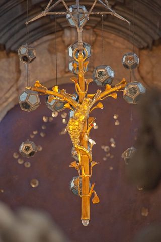
Dom-Heilig-Rock-Kapelle - Hängekreuz
 20 m
Catholic Churches
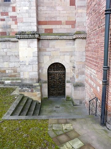
Dom - Außenportal der Ostkrypta
 20 m
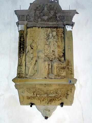
Epitaphs