Castles · Gothic
Burg zur Leyen
Wüstung


© GeoBasis-DE / LVermGeoRP, dl-de/by-2-0
There is no picture of this object yet. Do you have a photo that you would like to make available to the Kulturdatenbank? Submit a picture
Description
This description is only available in German.
Translate with Google opens this page in Google Translate (external service)
Stammsitz des gleichnamigen Adelsgeschlechts. 1239 versprechen die Herren von Leye dem Erzbischof von Köln ihre Burg Leye ihm offenzuhalten. Heute ist nur noch der in den Felsen gesetzte Wartturm erhalten. [1]
Classification
- Subject area
- Archaeological Monuments
- Object type
- Castles
- Date
- 1239
- Period
- Gothic
Location
- District
- Bernkastel-Wittlich
- Collective municipality
- Bernkastel-Kues
- Municipality
- Erden
- Field name
- Im Deller
- Coordinates
- WGS 84: 49.982530, 7.026294 (Position: exact) WGS 84: 49° 58′ 57.1″ N, 7° 01′ 34.7″ E UTM 32 (ETRS89): E 358504 · N 5538555
Sources
Data sources
- [1] Janssen, W.: Studien zur Wüstungsfrage im fränkischen Altsiedelland zwischen Rhein, Mosel und Eifelnordrand. 2 Bände. Text u. Katalog, 1975.
On the internet
Last edited: 1 Jun 2020 Object ID: 237
https://kulturdb.de/en/objekt/237-erden-burg-zur-leyen
Nearby
The nearest objects
Field Names
Im Deller
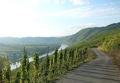 80 m
Biodiversity Hotspot
Erdener Prälat / Treppchen und Ürziger Sonnenuhr
Viewpoints
Aussichtspunkt am Klettersteig Erden
Farmhouses and Farm Buildings
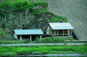
Römische Kelteranlagen
 150 m
Wayside Shrines and Stations of the Cross
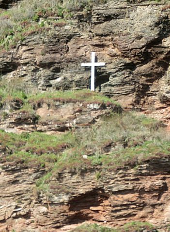
Wegekreuz
 170 m
Chapels
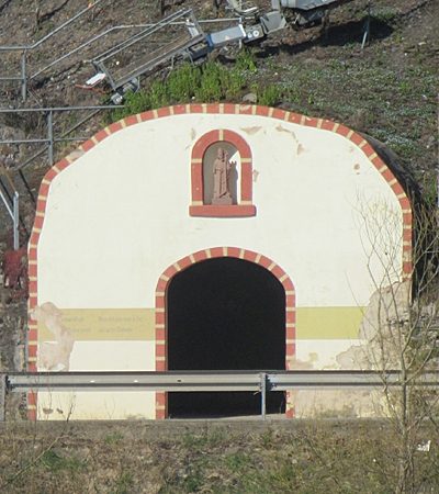
Kapelle bei der B 53
 170 m
Farmhouses and Farm Buildings
Römische Kelter
Vineyard Sites