Town Houses and Commercial Buildings · Baroque / Rococo
Ehemaliges Bürgerhaus Oberstraße 9


© GeoBasis-DE / LVermGeoRP, dl-de/by-2-0
There is no picture of this object yet. Do you have a photo that you would like to make available to the Kulturdatenbank? Submit a picture
Description
This description is only available in German.
Translate with Google opens this page in Google Translate (external service)
Barockes Wohnhaus. Abbruch aus verschiedenen Gründen. [1]
Classification
- Subject area
- Archaeological Monuments
- Category
- Residential and Farm Buildings
- Object type
- Town Houses and Commercial Buildings
- Date
- Circa 1700 bis circa 1780
- Period
- Baroque / Rococo
Location
- District
- City of Trier
- Collective municipality
- Verbandsfreie Gemeinde Trier
- Town
- Trier
- Locality / location
- Ehrang-Quint
- Street
- Oberstraße 9
- Field name
- Ortslage
- Coordinates
- WGS 84: 49.809448, 6.683966 (Position: exact) WGS 84: 49° 48′ 34.0″ N, 6° 41′ 02.3″ E UTM 32 (ETRS89): E 333369 · N 5520018
Sources
Data sources
- [1] Helmut Lutz: Verzeichnis der seit 1930 untergegangenen denkmalwerten Bauanlagen. Denkmalpflege in Trier (1975) Hrsg.: Städtische Denkmalpflege
On the internet
Last edited: 18 May 2000 Object ID: 2370
https://kulturdb.de/en/objekt/2370-trier-ehemaliges-buergerhaus-oberstrasse-9
Nearby
The nearest objects
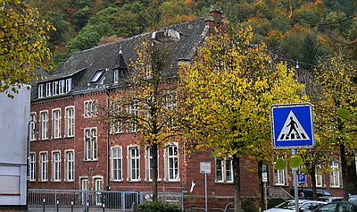 30 m
Schools
Grundschule Sankt Peter
Field Names
Bei der Mühl
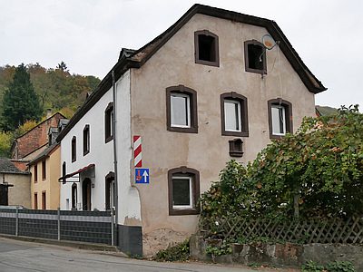 60 m
Farmhouses and Farm Buildings
Ehemaliges Bauerngehöft
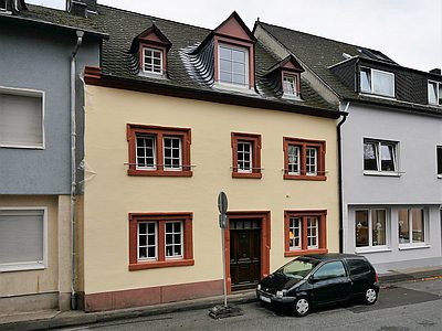 70 m
Town Houses and Commercial Buildings
Wohnhaus
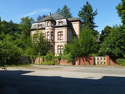 80 m
Town Houses and Commercial Buildings
Villa Seifer
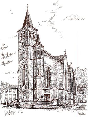 80 m
Catholic Churches
Sankt Peter
Field Names
Im Ort an der Kirch
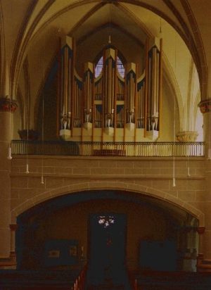 90 m
Organs