Town Houses and Commercial Buildings · Gothic
Ehemaliges Bürgerhaus Rindertanzstraße


© GeoBasis-DE / LVermGeoRP, dl-de/by-2-0
There is no picture of this object yet. Do you have a photo that you would like to make available to the Kulturdatenbank? Submit a picture
Description
This description is only available in German.
Translate with Google opens this page in Google Translate (external service)
Häuser aus dem 15. bis 18. Jahrhundert. Abbruch aus verschiedenen Gründen. [1]
Classification
- Subject area
- Archaeological Monuments
- Category
- Residential and Farm Buildings
- Object type
- Town Houses and Commercial Buildings
- Date
- 15. bis 18. Jahrhundert
- Period
- Gothic
Location
- District
- City of Trier
- Collective municipality
- Verbandsfreie Gemeinde Trier
- Town
- Trier
- Locality / location
- Mitte-Gartenfeld
- Street
- Ecke Rindertanzstraße / Sichelstraße
- Field name
- Ortslage
- Coordinates
- WGS 84: 49.757800, 6.643962 (Position: exact) WGS 84: 49° 45′ 28.1″ N, 6° 38′ 38.3″ E UTM 32 (ETRS89): E 330311 · N 5514366
Sources
Data sources
- [1] Helmut Lutz: Verzeichnis der seit 1930 untergegangenen denkmalwerten Bauanlagen. Denkmalpflege in Trier (1975) Hrsg.: Städtische Denkmalpflege
On the internet
Last edited: 31 Mar 2010 Object ID: 2372
https://kulturdb.de/en/objekt/2372-trier-ehemaliges-buergerhaus-rindertanzstrasse
Nearby
The nearest objects
 less than 10 m
Monuments
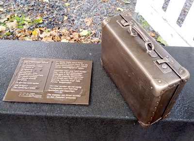
Bronzeplastik Reisekoffer
Chapels
Ehemalige Sebastianuskapelle
 20 m
Monuments
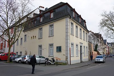
Ehemaliges Mahnmal zur Deportation der Juden
Monastic Complexes
Ehemaliges Kapuzinerkloster in der Sichelstraße
 20 m
Town Houses and Commercial Buildings
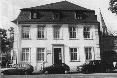
Haus Fetzenreich (3)
Canons' Houses (Curiae)
Ehemalige Kurie Schleiden
 30 m
Prisons
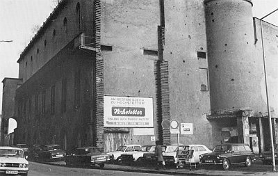
Ehemaliges Bischof-Korum-Haus - Sammelgefängnis
30 m
Educational Institutions