Roman Tombs · Celtic / Roman Period
Römische Gräber und Grabbauten


© GeoBasis-DE / LVermGeoRP, dl-de/by-2-0
There is no picture of this object yet. Do you have a photo that you would like to make available to the Kulturdatenbank? Submit a picture
Classification
- Subject area
- Archaeological Monuments
- Category
- Burials
- Object type
- Roman Tombs
- Date
- 4. Jahrhundert nach Chr.
- Period
- Celtic / Roman Period
Location
- District
- City of Trier
- Collective municipality
- Verbandsfreie Gemeinde Trier
- Town
- Trier
- Locality / location
- Trier-Nord
- Street
- Steinhausenstraße 38
- Field name
- Ortslage
- Coordinates
- WGS 84: 49.765453, 6.639099 (Position: presumed) WGS 84: 49° 45′ 55.6″ N, 6° 38′ 20.8″ E UTM 32 (ETRS89): E 329987 · N 5515228
Sources
Data sources
- [1] Plan der römischen Stadt Trier im 4. Jahrhundert n. Chr. Kartenbeilage 1 zu: Rettet das archäologische Erbe in Trier. Zweite Denkschrift der Archäologischen Trier-Kommission. Schriftenreihe des Rheinischen Landesmuseums Trier 31 (Trier 2005).
On the internet
Last edited: 2 Nov 2011 Object ID: 23743
https://kulturdb.de/en/objekt/23743-trier-nord-roemische-graeber-und-grabbauten
Nearby
The nearest objects
 40 m
Street Names
Steinhausenstraße
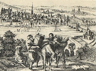 110 m
Vineyard Sites
Sankt Remigius (und Sankt Symphorian)
No picture
170 m
Farmhouses and Farm Buildings
Ehemaliges Hofgut Zurmaien
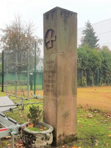 180 m
Monuments
Gedenkstein
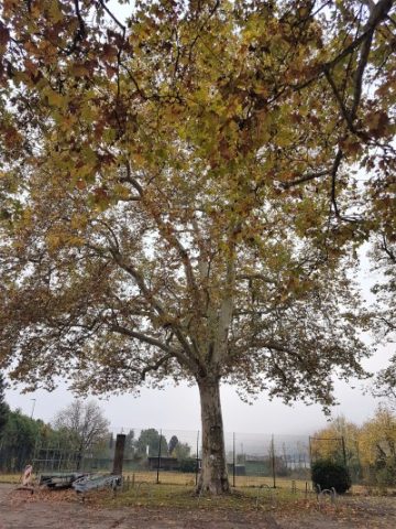 200 m
Plane Trees
Platane
No picture
200 m
Place Names / Local History
Zurmaien
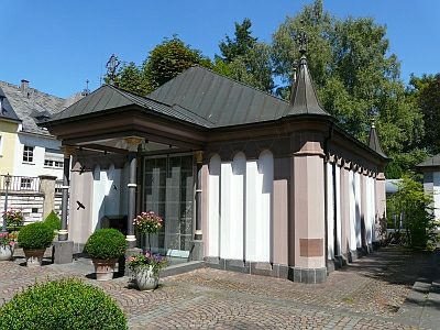 220 m
Chapels
Maria-Hilf-Kapelle
 240 m
Recreation and Sports Facilities