Extraction and Processing of Raw Materials · Celtic / Roman Period
Steinbruch der Römerzeit


© GeoBasis-DE / LVermGeoRP, dl-de/by-2-0
There is no picture of this object yet. Do you have a photo that you would like to make available to the Kulturdatenbank? Submit a picture
Classification
- Subject area
- Archaeological Monuments
- Category
- Economy, Trade and Transport
- Object type
- Extraction and Processing of Raw Materials
- Date
- 4. Jahrhundert nach Chr.
- Period
- Celtic / Roman Period
Location
- District
- City of Trier
- Collective municipality
- Verbandsfreie Gemeinde Trier
- Town
- Trier
- Locality / location
- Trier-West/Pallien
- Street
- Bonner Straße 60
- Field name
- Ortslage
- Coordinates
- WGS 84: 49.769214, 6.636136 (Position: presumed) WGS 84: 49° 46′ 09.2″ N, 6° 38′ 10.1″ E UTM 32 (ETRS89): E 329787 · N 5515653
Sources
Data sources
- [1] Plan der römischen Stadt Trier im 4. Jahrhundert n. Chr. Kartenbeilage 1 zu: Rettet das archäologische Erbe in Trier. Zweite Denkschrift der Archäologischen Trier-Kommission. Schriftenreihe des Rheinischen Landesmuseums Trier 31 (Trier 2005).
On the internet
Last edited: 25 Jan 2013 Object ID: 23759
https://kulturdb.de/en/objekt/23759-trier-west-pallien-steinbruch-der-roemerzeit
Nearby
The nearest objects
No picture
60 m
Town Houses and Commercial Buildings
Fabrikantenvilla
 70 m
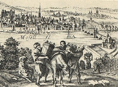
Vineyard Sites
Pallien
 90 m
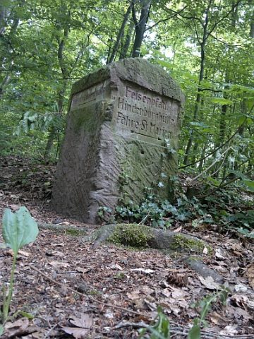
Surveying
Historischer Wegestein am Felsenpfad
 110 m
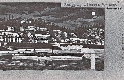
Natural Landscapes
Trierer Schweiz
 160 m
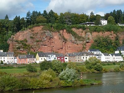
Extraction and Processing of Raw Materials
Steinbruch der Römerzeit
 170 m
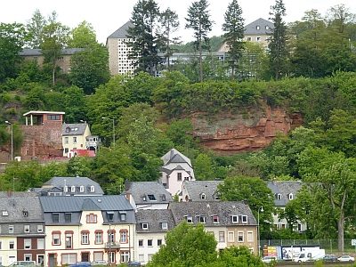
Rocks
Sandsteinfelsen zwischen Pallien und Biewer
No picture
170 m
Extraction and Processing of Raw Materials
Steinbruch der Römerzeit
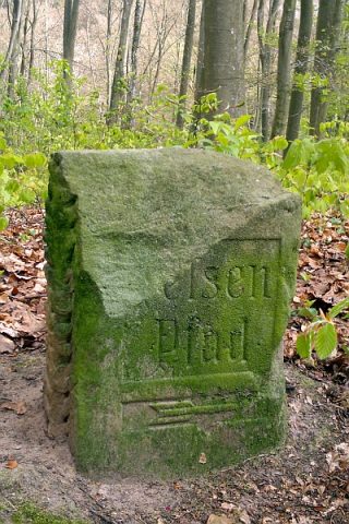 230 m
Surveying