Town Houses and Commercial Buildings · Gothic
Ehemalige Bürgerhäuser Krahnenstraße


© GeoBasis-DE / LVermGeoRP, dl-de/by-2-0
There is no picture of this object yet. Do you have a photo that you would like to make available to the Kulturdatenbank? Submit a picture
Description
This description is only available in German.
Translate with Google opens this page in Google Translate (external service)
Wohnhäuser aus dem 15. Jahrhundert bis in das frühe 19. Jahrhundert (Nordseite). Im Krieg zerstört. [1]
Classification
- Subject area
- Archaeological Monuments
- Category
- Residential and Farm Buildings
- Object type
- Town Houses and Commercial Buildings
- Date
- 15. Jahrhundert bis in das frühe 19. Jahrhundert
- Period
- Gothic
Location
- District
- City of Trier
- Collective municipality
- Verbandsfreie Gemeinde Trier
- Town
- Trier
- Locality / location
- Mitte-Gartenfeld
- Street
- Krahnenstraße 20 bis 29
- Field name
- Ortslage
- Coordinates
- WGS 84: 49.755595, 6.631346 (Position: presumed) WGS 84: 49° 45′ 20.1″ N, 6° 37′ 52.8″ E UTM 32 (ETRS89): E 329394 · N 5514150
Sources
Data sources
- [1] Helmut Lutz: Verzeichnis der seit 1930 untergegangenen denkmalwerten Bauanlagen. Denkmalpflege in Trier (1975) Hrsg.: Städtische Denkmalpflege
On the internet
Last edited: 29 Jan 2002 Object ID: 2377
https://kulturdb.de/en/objekt/2377-trier-ehemalige-buergerhaeuser-krahnenstrasse
Nearby
The nearest objects
 20 m
Town Houses and Commercial Buildings
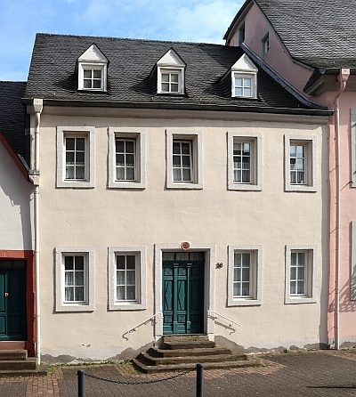
Gebäude Krahnenstraße 38
 20 m
Stolpersteine (Stumbling Stones)
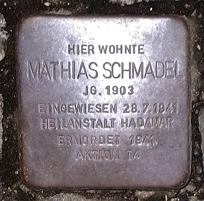
Stolperstein für Matthias Schmadel
Town Houses and Commercial Buildings
Gebäude Krahnenstraße 12
 20 m
Town Houses and Commercial Buildings
Gebäude Krahnenstraße 34
30 m
Town Houses and Commercial Buildings
Doppelwohnhaus
Hospitals
Klinikum Mutterhaus der Borromäerinnen
 30 m
Town Houses and Commercial Buildings
Wohnhaus
Plane Trees