Extraction and Processing of Raw Materials · Historicism / Art Nouveau
Ehemaliger Steinbruch Im Butzerberg - Pferdebahn


© GeoBasis-DE / LVermGeoRP, dl-de/by-2-0
There is no picture of this object yet. Do you have a photo that you would like to make available to the Kulturdatenbank? Submit a picture
Description
This description is only available in German.
Translate with Google opens this page in Google Translate (external service)
[...] Reste der Fundamente eines kleinen Gebäudes [...], die von einem Stall herrühren, die die abgebauten Steine über eine Pferdebahn hinüber zu einem Schrägaufzug zogen, der hinunter zum Steinlager am Bahnhof Kordel führte. [1]
Classification
- Subject area
- Architectural and Art Monuments
- Category
- Economy, Trade and Transport
- Object type
- Extraction and Processing of Raw Materials
- Date
- 1909
Location
- District
- Trier-Saarburg
- Collective municipality
- Trier-Land
- Municipality
- Kordel
- Street
- Butzweilerstraße
- Field name
- Im Butzerberg
- Coordinates
- WGS 84: 49.831467, 6.631233 (Position: exact) WGS 84: 49° 49′ 53.3″ N, 6° 37′ 52.4″ E UTM 32 (ETRS89): E 329653 · N 5522584
Sources
Data sources
- [1] Peter Moll und Christoph Becker: Geographisches Wander- und Lesebuch Neuland Heimat, Band 5. ISBN 978-3-00-35617-9 Wanderung Nr.7: Zwischen Kordel und Butzweiler - Steine und Geschichte(n) von Alwin Geimer.
- [2] Topographische Karte von 1909.
On the internet
Last edited: 19 Jul 2015 Object ID: 23774
https://kulturdb.de/en/objekt/23774-kordel-ehemaliger-steinbruch-im-butzerberg-pferdebahn
Nearby
The nearest objects
Rocks
Fels im Butzerberg südlich Kordel
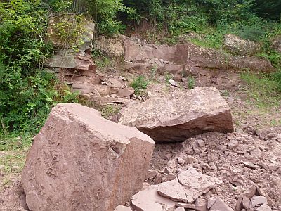 40 m
Extraction and Processing of Raw Materials
Steinbruch Im Butzerberg
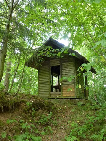 100 m
Field Names
Im Butzerberg
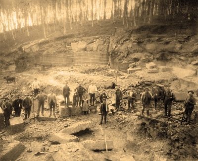 130 m
Extraction and Processing of Raw Materials
Ehemaliger Steinbruch Butzerberg
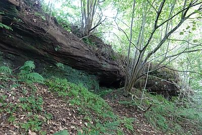 210 m
Rocks
Felszug im Mäusberg
Springs
Quellbereich Im Butzerberg südlich Kordel
 250 m
Street Names
Nikloaspiadchen - Nikolauspfad
Fortifications and Military Sites