Water Supply · Undated
Ehemaliger Wasserhochbehälter bei der Rützkapelle


Classification
- Subject area
- Architectural and Art Monuments
- Category
- Water Supply
- Date
- Undatiert
- Period
- Undated
Location
- District
- Trier-Saarburg
- Collective municipality
- Saarburg-Kell
- Municipality
- Zerf
- Locality / location
- Frommersbach
- Street
- Hunsrückhöhenstraße
- Field name
- Unter der Chaussee
- Coordinates
- WGS 84: 49.597834, 6.698956 (Position: exact) WGS 84: 49° 35′ 52.2″ N, 6° 41′ 56.2″ E UTM 32 (ETRS89): E 333726 · N 5496461
Sources
Data sources
- [1] Christoph Rieder, Konz, 2011.
On the internet
Picture credits
Last edited: 5 Nov 2011 Object ID: 23775
https://kulturdb.de/en/objekt/23775-zerf-ehemaliger-wasserhochbehaelter-bei-der-ruetzkapelle
Nearby
The nearest objects
 110 m
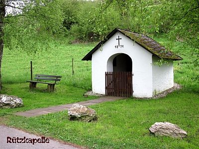
Chapels
Sogenannte Rützkapelle
No picture
390 m
Field Names
Im großen Bungert
No picture
450 m
Field Names
Bergtrieschenwiesen
 470 m
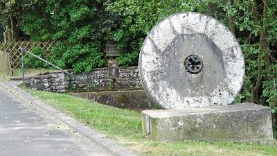
Fountains and Wells
Dorfbrunnen
 480 m
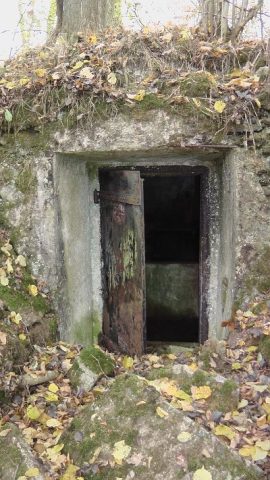
Water Supply
Ehemaliger Wasserhochbehälter Bergtrieschenwiesen
No picture
480 m
Fossils
Fundstellen tierischer Versteinerungen
 480 m
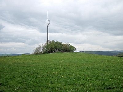
Viewpoints
Aussichtspunkt Auf der Kupp
No picture
570 m
Field Names