Town Fortifications · Gothic
Ehem. Turm der mittelalterl. Stadtmauer - Nr. 30

Classification
- Subject area
- Archaeological Monuments
- Object type
- Town Fortifications
- Date
- 13./14. Jahrhundert
- Period
- Gothic
Location
- District
- City of Trier
- Collective municipality
- Verbandsfreie Gemeinde Trier
- Town
- Trier
- Locality / location
- Mitte-Gartenfeld
- Street
- Kaiserstraße 41
- Field name
- Ortslage
- Coordinates
- WGS 84: 49.749766, 6.638955 (Position: presumed) WGS 84: 49° 44′ 59.2″ N, 6° 38′ 20.2″ E UTM 32 (ETRS89): E 329922 · N 5513484
Sources
Data sources
- [1] Plan der mittelalterlichen Stadt Trier im 13./14. Jahrhundert. Kartenbeilage 2 zu: Rettet das archäologische Erbe in Trier. Zweite Denkschrift der Archäologischen Trier-Kommission. Schriftenreihe des Rheinischen Landesmuseums Trier 31 (Trier 2005).
On the internet
Picture credits
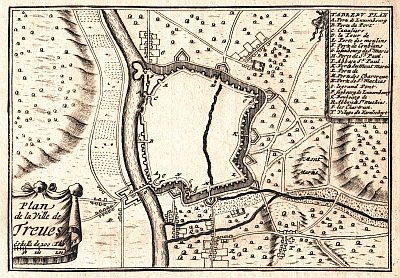
- Picture 1: Created by Sébastien Pontault de Beaulieu (1612-1674), reproduced from an original copperprint by Palauenc05., Public domain, via Wikimedia Commons
Last edited: 26 Oct 2021 Object ID: 23788
https://kulturdb.de/en/objekt/23788-trier-ehem-turm-der-mittelalterl-stadtmauer-nr-30
Nearby
The nearest objects
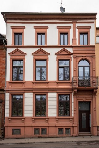 10 m
Town Houses and Commercial Buildings
Wohnhaus
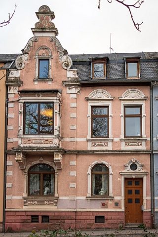 20 m
Town Houses and Commercial Buildings
Haus Kaiserstraße 43
 30 m
Town Houses and Commercial Buildings
Haus Kaiserstraße 44
 50 m
Town Houses and Commercial Buildings
Doppelvilla (1)
 50 m
Town Houses and Commercial Buildings
Doppelvilla (2)
 60 m
Town Fortifications
Ehem. Turm der mittelalterl. Stadtmauer - Nr. 29
60 m
Town Fortifications
Ehem. Turm der mittelalterl. Stadtmauer - Nr. 31
 90 m
Stolpersteine (Stumbling Stones)