Deserted Settlements · Gothic
Wüstung Mönchhof

Description
This description is only available in German.
Translate with Google opens this page in Google Translate (external service)
Erste Erwähnung im 13. Jahrhundert. 1509: in den moynch zo urzich. [1]
Classification
- Subject area
- Archaeological Monuments
- Category
- Settlements
- Object type
- Deserted Settlements
- Date
- 13. Jahrhundert
- Period
- Gothic
Location
- District
- Bernkastel-Wittlich
- Collective municipality
- Bernkastel-Kues
- Municipality
- Ürzig
- Locality / location
- Mönchhof
- Field name
- Ortslage
- Coordinates
- WGS 84: 49.980873, 7.010225 (Position: exact) WGS 84: 49° 58′ 51.1″ N, 7° 00′ 36.8″ E UTM 32 (ETRS89): E 357347 · N 5538401
Sources
Data sources
- [1] Janssen, W.: Studien zur Wüstungsfrage im fränkischen Altsiedelland zwischen Rhein, Mosel und Eifelnordrand. 2 Bände. Text u. Katalog, 1975.
On the internet
Picture credits
- Picture 1: © Margraff: Kirchen, Burgen, Bauernhäuser. Verlag der Akademischen Buchhandlung Interbook Trier, 1986
Last edited: 23 Apr 2004 Object ID: 238
https://kulturdb.de/en/objekt/238-uerzig-wuestung-moenchhof
Nearby
The nearest objects
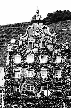 30 m
Town Houses and Commercial Buildings
Himmeroder Hof
 30 m
Flood Marks
Himmeroder Hof - Hochwassermarken
No picture
90 m
Town Houses and Commercial Buildings
Weingut
No picture
100 m
Vineyard Sites
Oberst Pichter
No picture
130 m
Vineyard Sites
Unterst Pichter
No picture
140 m
Field Names
Im Wirzgarten
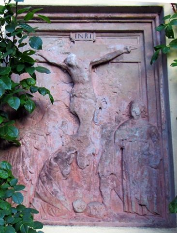 190 m
Wayside Shrines and Stations of the Cross
Kreuzigungsrelief an Hauswand
No picture
220 m
Mills