Viewpoints · Undated
Aussichtspunkt Landwehrkreuz


Description
This description is only available in German.
Translate with Google opens this page in Google Translate (external service)
Am Himmelsberg (407,2 Meter über Normal-Null); auf der Grenze zu Mehring.
Classification
- Subject area
- Natural Features
- Category
- Viewpoints
- Date
- Undatiert
- Period
- Undated
Location
- District
- Trier-Saarburg
- Collective municipality
- Schweich an der römischen Weinstraße
- Municipality
- Longen
- Field name
- Beim Landwirtsgraben
- Coordinates
- WGS 84: 49.821097, 6.788848 (Position: exact) WGS 84: 49° 49′ 15.9″ N, 6° 47′ 19.9″ E UTM 32 (ETRS89): E 340953 · N 5521085
Sources
Data sources
- [1] Wanderkarten im Maßstab 1:50.000 und 1:25.000.
On the internet
Picture credits
Last edited: 27 Aug 2024 Object ID: 23912
https://kulturdb.de/en/objekt/23912-longen-aussichtspunkt-landwehrkreuz
Nearby
The nearest objects
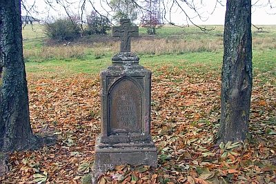 less than 10 m
Wayside Shrines and Stations of the Cross
Landwehrkreuz
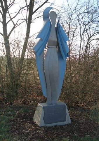 60 m
Wayside Shrines and Stations of the Cross
Marienfigur
Settlements
Römische Siedlungsstelle
Fossils
Fundstellen tierischer Versteinerungen
 410 m
Field Names
Aufm Hummelsberg
Viewpoints
Aussichtspunkt Mehringer-Berg
Extraction and Processing of Raw Materials
Ehem. Grube Morgenstern - Oberstollen
Extraction and Processing of Raw Materials