Wayside Shrines and Stations of the Cross · Renaissance
Wegekreuz gegenüber der Kirche
- Listed monument


Description
This description is only available in German.
Translate with Google opens this page in Google Translate (external service)
Unvollständig erhaltenes Nischenkreuz, wohl aus dem 17. Jahrhundert. [1]
Classification
- Subject area
- Architectural and Art Monuments
- Category
- Religious Buildings
- Object type
- Wayside Shrines and Stations of the Cross
- Date
- 17. Jahrhundert
- Period
- Renaissance
Location
- District
- Eifelkreis Bitburg-Prüm
- Collective municipality
- Arzfeld
- Municipality
- Olmscheid
- Street
- Hauptstraße
- Field name
- Im Kloring
- Coordinates
- WGS 84: 50.064682, 6.225616 (Position: exact) WGS 84: 50° 03′ 52.9″ N, 6° 13′ 32.2″ E UTM 32 (ETRS89): E 301448 · N 5549510
Sources
Data sources
- [1] Denkmalliste der Generaldirektion Kulturelles Erbe, Rheinland-Pfalz; 2010.
On the internet
Picture credits
Last edited: 25 Dec 2011 Object ID: 23914
https://kulturdb.de/en/objekt/23914-olmscheid-wegekreuz-gegenueber-der-kirche
Nearby
The nearest objects
 10 m
Chapels
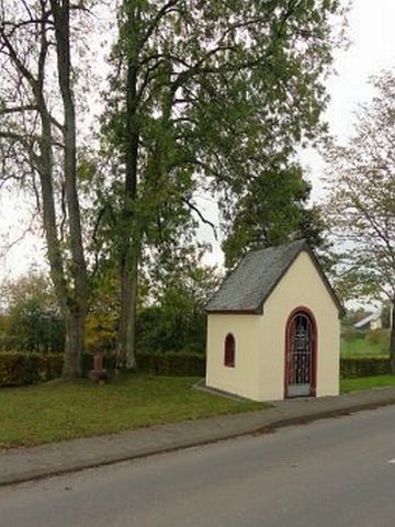
Ehemalige Hauskapelle
 40 m
Catholic Churches
Sankt Josef
 70 m
Lime Trees
Linde auf dem Friedhof
No picture
150 m
Wayside Shrines and Stations of the Cross
Wegekreuz
No picture
170 m
Field Names
Unterm Ohrenborn
 230 m
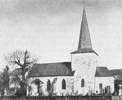
Place Names / Local History
Ortsname / Ortsgeschichte
No picture
370 m
Windmills
Ehemalige Windmühle
No picture
430 m
Field Names