Field Names · Undated
Im Engelbüsch


© GeoBasis-DE / LVermGeoRP, dl-de/by-2-0
There is no picture of this object yet. Do you have a photo that you would like to make available to the Kulturdatenbank? Submit a picture
Description
This description is only available in German.
Translate with Google opens this page in Google Translate (external service)
[...] Die Bezeichnung Im Engelsbüsch rührt daher, dass im dahinter liegenden Wald (mittelhochdeutsch büschel in der Bedeutung 'kleiner Busch') senkrechte weiße Steinquader engelsgleich herumstehen. [...]
Classification
- Subject area
- History
- Category
- Field Names
- Date
- Undatiert
- Period
- Undated
Location
- District
- Trier-Saarburg
- Collective municipality
- Ruwer
- Municipality
- Pluwig
- Locality / location
- Wilzenburg
- Field name
- Im Engelbüsch
- Coordinates
- WGS 84: 49.682288, 6.722089 (Position: exact) WGS 84: 49° 40′ 56.2″ N, 6° 43′ 19.5″ E UTM 32 (ETRS89): E 335682 · N 5505798
Sources
Data sources
On the internet
Last edited: 16 Mar 2012 Object ID: 24100
https://kulturdb.de/en/objekt/24100-pluwig-im-engelbuesch
Nearby
The nearest objects
Viewpoints
Aussichtspunkt
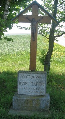 80 m
Wayside Shrines and Stations of the Cross
Fliegerkreuz
Field Names
Ober Wild
Field Names
Im Weißen Stein
Field Names
Frauenhaus
Field Names
Kirchenpfadsflur
Field Names
In der Aetel 3. Gewann
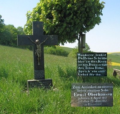 310 m
Wayside Shrines and Stations of the Cross