Field Names · Undated
Krummlängten
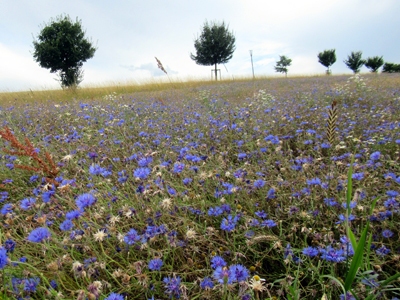
Description
This description is only available in German.
Translate with Google opens this page in Google Translate (external service)
[...] Es handelt sich um schmale, länglich sich erstreckende Fluren, die allerdings eine starke Krümmung aufweisen. Ein Blick auf die Felder rechts des Kempenwegs bestätigen dies. [...]
Classification
- Subject area
- History
- Category
- Field Names
- Date
- Undatiert
- Period
- Undated
Location
- District
- Trier-Saarburg
- Collective municipality
- Ruwer
- Municipality
- Pluwig
- Locality / location
- Wilzenburg
- Field name
- Krummlängten
- Coordinates
- WGS 84: 49.684602, 6.704031 (Position: exact) WGS 84: 49° 41′ 04.6″ N, 6° 42′ 14.5″ E UTM 32 (ETRS89): E 334388 · N 5506095
Sources
Data sources
On the internet
Picture credits
- Picture 1: © Michael Grün, Trier, 2024.
Last edited: 25 Jul 2024 Object ID: 24111
https://kulturdb.de/en/objekt/24111-pluwig-krummlaengten
Nearby
The nearest objects
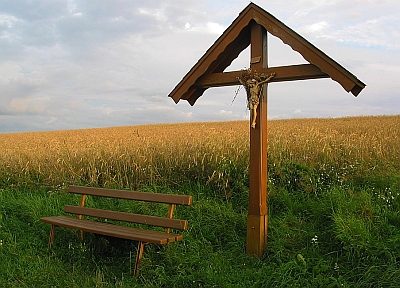 200 m
Wayside Shrines and Stations of the Cross
Gertzkreuz
210 m
Viewpoints
Aussichtspunkt Gertzkreuz
Field Names
In der Dellensang
Field Names
Am Kemperweg
Extraction and Processing of Raw Materials
Ehemaliger Steinbruch
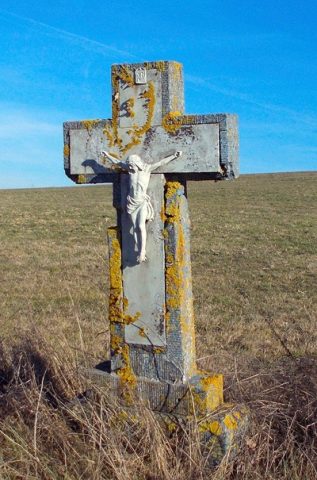 430 m
Wayside Shrines and Stations of the Cross
Wegekreuz
Field Names
In der Dellenwild 2. Gewann
Field Names