Ferries · Historicism / Art Nouveau
Ehemalige Kahnfähre


© GeoBasis-DE / LVermGeoRP, dl-de/by-2-0
There is no picture of this object yet. Do you have a photo that you would like to make available to the Kulturdatenbank? Submit a picture
Description
This description is only available in German.
Translate with Google opens this page in Google Translate (external service)
Von 1876 bis zum Jahre 1979 fuhr an dieser Stelle eine Moselfähre auf das andere Ufer. Dies war notwendig, da alle wichtigen Verkehrsmittel, ob Straße oder Eisenbahn, auf der anderen Seite verkehrten. Erst mit dem Bau der Brücke wurde sie überflüssig.
Heute befindet sich am alten Fährkopf eine Einlassmöglichkeit für Boote, eine Anlegestelle für Ruderboote sowie ein Anlegesteg für Passagierschiffe. [1]
Classification
- Subject area
- Architectural and Art Monuments
- Category
- Economy, Trade and Transport
- Object type
- Ferries
- Date
- 1876
Location
- District
- Bernkastel-Wittlich
- Collective municipality
- Bernkastel-Kues
- Municipality
- Minheim
- Field name
- [Mosel]
- Coordinates
- WGS 84: 49.863140, 6.932090 (Position: exact) WGS 84: 49° 51′ 47.3″ N, 6° 55′ 55.5″ E UTM 32 (ETRS89): E 351384 · N 5525465
Sources
Data sources
- [1] iTracking http://www.geocaching.com/seek/cache_details.aspx?wp=GC32GB9
- [2] Topographische Karte 1:25000 von 1895 https://geo4.service24.rlp.de/client/lf/lawa/
On the internet
Last edited: 25 May 2020 Object ID: 24541
https://kulturdb.de/en/objekt/24541-minheim-ehemalige-kahnfaehre
Nearby
The nearest objects
 150 m
Extraction and Processing of Raw Materials
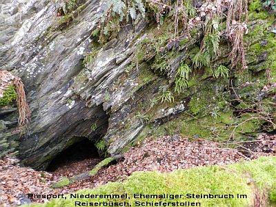
Ehemaliger Steinbruch Im Reiserbüsch
Field Names
Im Kappesbungert
Vineyard Sites
Olk
Railways
Moseltalbahn - Ehemaliger Haltepunkt Minheim
War Memorials
Kriegerdenkmal an der Pfarrkirche
Organs
Sankt Johannes der Täufer - Orgel
 240 m
Wayside Shrines and Stations of the Cross
Sankt Johannes der Täufer - Kreuzweg (1)
 240 m
Wayside Shrines and Stations of the Cross