Rocks · Undated
Felsformation Kanzel - 2. Abschnitt


© GeoBasis-DE / LVermGeoRP, dl-de/by-2-0
There is no picture of this object yet. Do you have a photo that you would like to make available to the Kulturdatenbank? Submit a picture
Classification
- Subject area
- Natural Features
- Category
- Rocks
- Date
- Undatiert
- Period
- Undated
Location
- District
- Bernkastel-Wittlich
- Town
- Bernkastel-Kues
- Locality / location
- Bernkastel
- Field name
- im Krauwald
- Coordinates
- WGS 84: 49.904151, 7.089139 (Position: exact) WGS 84: 49° 54′ 14.9″ N, 7° 05′ 20.9″ E UTM 32 (ETRS89): E 362786 · N 5529724
Sources
Data sources
- [1] GeoPortal des Landes Rheinland-Pfalz. http://www.geoportal.rlp.de/
On the internet
Last edited: 30 Apr 2012 Object ID: 24570
https://kulturdb.de/en/objekt/24570-bernkastel-kues-felsformation-kanzel-2-abschnitt
Nearby
The nearest objects
No picture
130 m
Rocks
Felsformation Kanzel - 3. Abschnitt
No picture
200 m
Rocks
Felsformation Kanzel - 1. Abschnitt
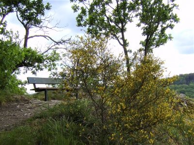 220 m
Viewpoints
Aussichtspunkt Bresgen Ruh
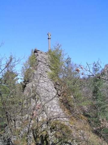 410 m
Wayside Shrines and Stations of the Cross
Sogenanntes Steinernes Kreuz
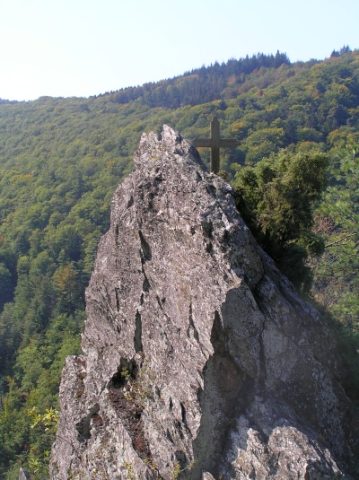 420 m
Rocks
Felsformation Das goldene Kreuz
420 m
Wayside Shrines and Stations of the Cross
Das goldene Kreuz
No picture
440 m
Extraction and Processing of Raw Materials
Ehemaliger Steinbruch An der Leiengrube
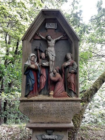 610 m
Wayside Shrines and Stations of the Cross