Rocks · Undated
Weißlei


© GeoBasis-DE / LVermGeoRP, dl-de/by-2-0
There is no picture of this object yet. Do you have a photo that you would like to make available to the Kulturdatenbank? Submit a picture
Description
This description is only available in German.
Translate with Google opens this page in Google Translate (external service)
Lei - Bedeutung: 1. Schiefer als Gesteinsart. – 2. Anstehender Schieferfels; besonders eine platte, felsige, nackte Stelle im Berghang. – 3. In der Eifel jede Steinplatte. [2]
Classification
- Subject area
- Natural Features
- Category
- Rocks
- Date
- Undatiert
- Period
- Undated
Location
- District
- Bernkastel-Wittlich
- Collective municipality
- Bernkastel-Kues
- Municipality
- Neumagen-Dhron
- Locality / location
- Neumagen
- Field name
- Auf der Tatschel
- Coordinates
- WGS 84: 49.882487, 6.897280 (Position: exact) WGS 84: 49° 52′ 57.0″ N, 6° 53′ 50.2″ E UTM 32 (ETRS89): E 348943 · N 5527685
Sources
Data sources
- [1] GeoPortal des Landes Rheinland-Pfalz. http://www.geoportal.rlp.de/
- [2] Dittmaier, Heinrich: Rheinische Flurnamen. Ludwig Röhrscheid Verlag, Bonn, 1963.
On the internet
Last edited: 17 Feb 2012 Object ID: 24592
https://kulturdb.de/en/objekt/24592-neumagen-dhron-weisslei
Nearby
The nearest objects
Field Names
Aufm Höhrech
Field Names
Bei der Grundkarcht
Farmhouses and Farm Buildings
Ehemaliges Wirtschaftsgebäude
Farmhouses and Farm Buildings
Wohnhaus
Farmhouses and Farm Buildings
Wohnhaus
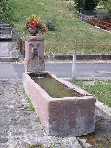 270 m
Fountains and Wells
Laufbrunnen Ferreser Boor
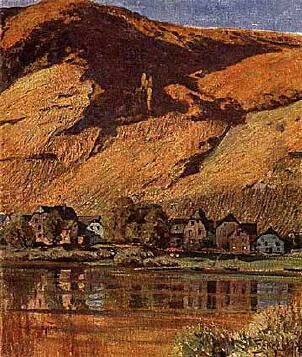 280 m
Settlements
Römische Siedlung
Viewpoints