Rocks · Undated
Felsformation Königslei - 2. Abschnitt
Naturdenkmal
- Listed monument


Description
This description is only available in German.
Translate with Google opens this page in Google Translate (external service)
Eine nördlich des Dorfes gelegene Felsgruppe im Tal der Our, besteht aus Grauwacke und ist ein Naturdenkmal, das dem Wanderer aus 25 Meter Höhe einen wunderbaren Blick ins Ourtal gewährt.
Classification
- Subject area
- Natural Features
- Category
- Rocks
- Date
- Undatiert
- Period
- Undated
Location
- District
- Eifelkreis Bitburg-Prüm
- Collective municipality
- Arzfeld
- Municipality
- Dahnen
- Field name
- Königsberg
- Coordinates
- WGS 84: 50.113180, 6.135846 (Position: exact) WGS 84: 50° 06′ 47.4″ N, 6° 08′ 09.0″ E UTM 32 (ETRS89): E 295232 · N 5555143
Sources
Data sources
- Internet
On the internet
Picture credits
Last edited: 15 Sep 2005 Object ID: 24600
https://kulturdb.de/en/objekt/24600-dahnen-felsformation-koenigslei-2-abschnitt
Nearby
The nearest objects
Viewpoints
Aussichtspunkt Königslei
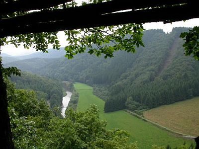 100 m
Rocks
Felsformation Königslei - 1. Abschnitt
Fords
Furt durch die Our
Field Names
Reichertsauel
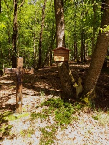 610 m
Wayside Shrines and Stations of the Cross
Köhlerkreuz
Fords
Furt durch die Our
Field Names
Oben in Wankemichsauel
Field Names