Extraction and Processing of Raw Materials · Undated
Historische Schiefergrube

Classification
- Subject area
- Architectural and Art Monuments
- Category
- Economy, Trade and Transport
- Object type
- Extraction and Processing of Raw Materials
- Date
- Undatiert
- Period
- Undated
Location
- District
- Trier-Saarburg
- Collective municipality
- Ruwer
- Municipality
- Thomm
- Locality / location
- Thommerberg
- Field name
- Im Brasilienberg
- Coordinates
- WGS 84: 49.753428, 6.794722 (Position: exact) WGS 84: 49° 45′ 12.3″ N, 6° 47′ 41.0″ E UTM 32 (ETRS89): E 341154 · N 5513550
Sources
Data sources
- [1] Theophil Schweicher, Pluwig, 2012. http://www.panoramio.com/user/6662498
On the internet
Picture credits
- Picture 1: © Theophil Schweicher, Pluwig, 2013. http://www.unser-pluwig.de
Last edited: 7 Jun 2012 Object ID: 24671
https://kulturdb.de/en/objekt/24671-thommerberg-historische-schiefergrube
Nearby
The nearest objects
No picture
50 m
Extraction and Processing of Raw Materials
Stollen Eugen
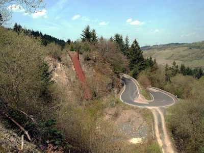 50 m
Extraction and Processing of Raw Materials
Steinbruch Thommerberg - Fördereinrichtung
No picture
60 m
Extraction and Processing of Raw Materials
Stollen Friedrich
No picture
120 m
Extraction and Processing of Raw Materials
Stolleneingang
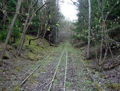 120 m
Extraction and Processing of Raw Materials
Steinbruch Thommerberg - Bremsberg
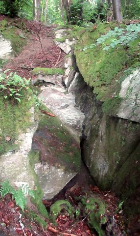 120 m
Extraction and Processing of Raw Materials
Stolleneingang Grube Mertesnaf
No picture
160 m
Extraction and Processing of Raw Materials
Stolleneingang
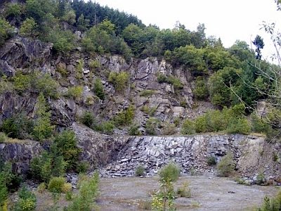 170 m
Extraction and Processing of Raw Materials