Execution Sites · Undated
Hochgerichtsstätte

Description
This description is only available in German.
Translate with Google opens this page in Google Translate (external service)
Der höchste Punkt der Gemarkung ist der Galgenberg mit 351 m NN, dessen Benennung an die Hochgerichtsstätte erinnert.
Classification
- Subject area
- History
- Category
- Legal Monuments
- Object type
- Execution Sites
- Date
- Undatiert
- Period
- Undated
Location
- District
- Trier-Saarburg
- Collective municipality
- Trier-Land
- Municipality
- Langsur
- Locality / location
- Metzdorf
- Street
- Römerstraße
- Field name
- Auf dem Galgenberg
- Coordinates
- WGS 84: 49.757009, 6.524393 (Position: exact) WGS 84: 49° 45′ 25.2″ N, 6° 31′ 27.8″ E UTM 32 (ETRS89): E 321697 · N 5514556
Sources
Data sources
On the internet
Picture credits
- Picture 1: Pieter Breughel der Ältere
Last edited: 25 Jun 2012 Object ID: 24696
https://kulturdb.de/en/objekt/24696-langsur-hochgerichtsstaette
Nearby
The nearest objects
No picture
130 m
Fortresses and Bunkers
Westwall - Bunkertyp nicht eindeutig erkennbar
 140 m
Field Names
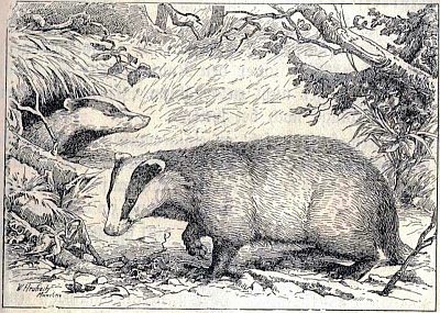
Bei den Dachslöchern
No picture
150 m
Field Names
Oberm Kempelerborn am Galgenberg
No picture
210 m
Field Names
In der Wolfskaul
No picture
310 m
Field Names
Vor Kempelerborn
No picture
420 m
Fortresses and Bunkers
Westwall - Maschinengewehr-Schartenstand
No picture
490 m
Fortresses and Bunkers
Westwall - Maschinengewehr-Schartenstand
No picture
600 m
Field Names