Railways · 20th Century
Hauptbahnhof - Bahnbetriebswerk


© GeoBasis-DE / LVermGeoRP, dl-de/by-2-0
There is no picture of this object yet. Do you have a photo that you would like to make available to the Kulturdatenbank? Submit a picture
Classification
- Subject area
- Architectural and Art Monuments
- Object type
- Railways
- Date
- 1921-1923
- Period
- 20th Century
Location
- District
- City of Trier
- Collective municipality
- Verbandsfreie Gemeinde Trier
- Town
- Trier
- Locality / location
- Kürenz
- Street
- Avelsbacher Straße
- Field name
- Ortslage
- Coordinates
- WGS 84: 49.765295, 6.666923 (Position: exact) WGS 84: 49° 45′ 55.1″ N, 6° 40′ 00.9″ E UTM 32 (ETRS89): E 331990 · N 5515148
Sources
On the internet
Last edited: 7 Jul 2012 Object ID: 24763
https://kulturdb.de/en/objekt/24763-trier-hauptbahnhof-bahnbetriebswerk
Nearby
The nearest objects
No picture
180 m
Extraction and Processing of Raw Materials
Ehemalige Knochenbrennerei
 210 m
Water Supply
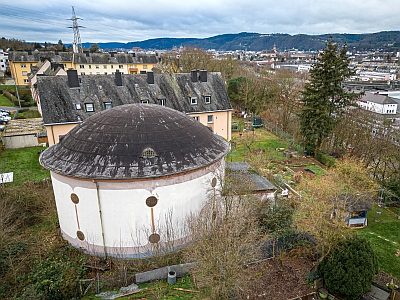
Wasserbehälter
 260 m
Vineyard Sites
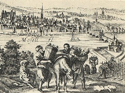
Schivelethewingart
No picture
260 m
Street Names
Rambouxstraße
 260 m
Wayside Shrines and Stations of the Cross
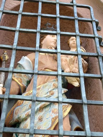
Ehemaliges Unfallkreuz
 280 m
Mills
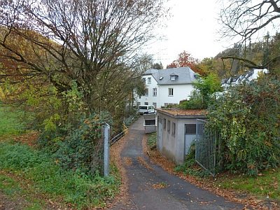
Tabaksmühle im Avelertal
 310 m
Fortresses and Bunkers
Luftschutzbunker
No picture
320 m
Town Parks and Public Green Spaces