Observation Towers · 20th Century
Ehrenfriedhof Kolmeshöhe - Aussichtsturm
Denkmalzone
- Listed monument


Description
This description is only available in German.
Translate with Google opens this page in Google Translate (external service)
Kalksandsteinquaderturm, 1912, bei Einbeziehung in die 1930 angelegte Kriegergedenkstätte aufgestockt und das Portal verändert. [1]
Classification
- Subject area
- Architectural and Art Monuments
- Category
- Viewpoints
- Object type
- Observation Towers
- Date
- 1912
- Period
- 20th Century
Location
- District
- Eifelkreis Bitburg-Prüm
- Collective municipality
- Verbandsfreie Gemeinde Bitburg
- Town
- Bitburg
- Street
- Franz-Mecker-Straße
- Field name
- Im Blatensflur
- Coordinates
- WGS 84: 49.963549, 6.511346 (Position: exact) WGS 84: 49° 57′ 48.8″ N, 6° 30′ 40.8″ E UTM 32 (ETRS89): E 321520 · N 5537547
Sources
Data sources
- [1] Denkmalliste der Generaldirektion Kulturelles Erbe, Rheinland-Pfalz; 2010.
On the internet
bitburg.de/1998/besuch/history/hist.htm
Picture credits
- Picture 1: © Sandra Wack, Neuheilenbach, 2016. www.koerbchen-gesucht.de
- Picture 2: © Sandra Wack, Neuheilenbach, 2016. www.koerbchen-gesucht.de
- Picture 3: Sammlung Dieter Müller, Mainz, 2010. http://www.flickr.com/people/26011142@N07
- Picture 4: © Lothar Monshausen, Fotostream http://www.flickr.com/photos/lomo56/tags/meteorite/
- Picture 5: Historische Ansichtskarte von 1943
Last edited: 13 Apr 2016 Object ID: 24797
https://kulturdb.de/en/objekt/24797-bitburg-ehrenfriedhof-kolmeshoehe-aussichtsturm
Nearby
The nearest objects
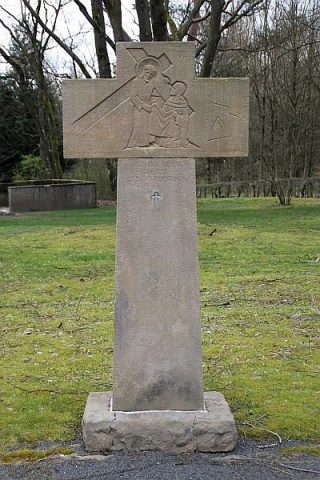 20 m
Wayside Shrines and Stations of the Cross
Ehrenfriedhof Kolmeshöhe - Kreuzweg 6. Station
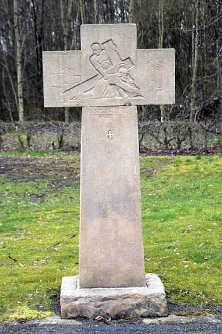 20 m
Wayside Shrines and Stations of the Cross
Ehrenfriedhof Kolmeshöhe - Kreuzweg 7. Station
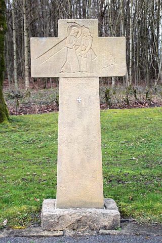 30 m
Wayside Shrines and Stations of the Cross
Ehrenfriedhof Kolmeshöhe - Kreuzweg 8. Station
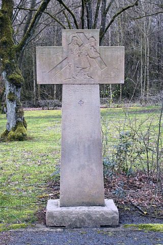 30 m
Wayside Shrines and Stations of the Cross
Ehrenfriedhof Kolmeshöhe - Kreuzweg 5. Station
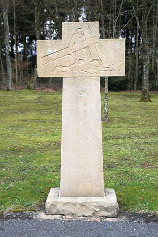 30 m
Wayside Shrines and Stations of the Cross
Ehrenfriedhof Kolmeshöhe - Kreuzweg 9. Station
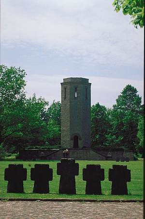 30 m
War Cemeteries
Ehrenfriedhof Kolmeshöhe
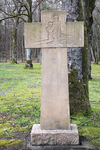 40 m
Wayside Shrines and Stations of the Cross
Ehrenfriedhof Kolmeshöhe - Kreuzweg 10. Station
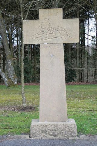 50 m
Wayside Shrines and Stations of the Cross