Chapels · 20th Century
Kapelle


© GeoBasis-DE / LVermGeoRP, dl-de/by-2-0
There is no picture of this object yet. Do you have a photo that you would like to make available to the Kulturdatenbank? Submit a picture
Description
This description is only available in German.
Translate with Google opens this page in Google Translate (external service)
Nach dem letzten Krieg errichteten die Eheleute Karl und Anna Rauls ein Marienkapellchen am Ortsausgang Saarstraße. [1]
Classification
- Subject area
- Architectural and Art Monuments
- Category
- Religious Buildings
- Object type
- Chapels
- Date
- Nach 1945
- Period
- 20th Century
Location
- District
- Trier-Saarburg
- Collective municipality
- Saarburg-Kell
- Municipality
- Waldweiler
- Street
- Saarstraße 42
- Field name
- Beim Fröschenpudel
- Coordinates
- WGS 84: 49.607221, 6.800054 (Position: exact) WGS 84: 49° 36′ 26.0″ N, 6° 48′ 00.2″ E UTM 32 (ETRS89): E 341062 · N 5497286
Sources
Data sources
- [1] Aus dem Hochwald. Alte und neue Kapellen. Hrsg. Arbeitskreis Heimatkunde im Bildungswerk Johanneshaus Hermeskeil. Hermeskeil 1989.
On the internet
Last edited: 23 Jul 2012 Object ID: 24863
https://kulturdb.de/en/objekt/24863-waldweiler-kapelle
Nearby
The nearest objects
Field Names
Beim Fröschenpudel
Field Names
Beim Fröschenpudel
Field Names
In der Fuchssteinkaul
 500 m
Mills
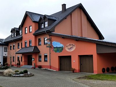
Ehemalige Niederkeller Mühle
 560 m
Coats of Arms
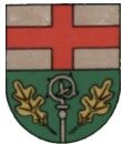
Wappen der Gemeinde Waldweiler
560 m
Place Names / Local History
Ortsname / Ortsgeschichte
Field Names
Beim alten Born
Schools