Catering, Inns and Hotels · 20th Century
Jugendherberge
- Listed monument


Description
This description is only available in German.
Translate with Google opens this page in Google Translate (external service)
Walmdachbau, teilweise Fachwerk, nationalsozialistischer Musterbau. [1]
Classification
- Subject area
- Architectural and Art Monuments
- Category
- Economy, Trade and Transport
- Object type
- Catering, Inns and Hotels
- Date
- 1936
- Period
- 20th Century
Location
- District
- Trier-Saarburg
- Town
- Hermeskeil
- Street
- Adolf-Kolping-Straße 4
- Field name
- Ortslage
- Coordinates
- WGS 84: 49.654440, 6.943192 (Position: exact) WGS 84: 49° 39′ 16.0″ N, 6° 56′ 35.5″ E UTM 32 (ETRS89): E 351546 · N 5502242
Sources
Data sources
- [1] Denkmalliste der Generaldirektion Kulturelles Erbe, Rheinland-Pfalz; 2010.
On the internet
Picture credits
Last edited: 5 Aug 2012 Object ID: 24897
https://kulturdb.de/en/objekt/24897-hermeskeil-jugendherberge
Nearby
The nearest objects
No picture
30 m
Place Names / Local History
Geplantes Musterdorf der Westmark
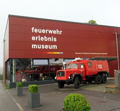 120 m
Museums
Feuerwehr Erlebnis Museum
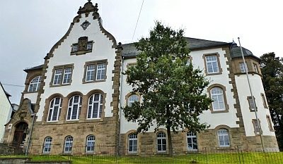 160 m
Courthouses
Amtsgericht
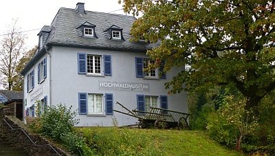 170 m
Museums
Hochwaldmuseum
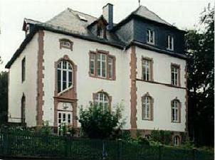 200 m
Museums
Erlebnismuseum Mensch und Landschaft
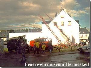 200 m
Museums
Feuerwehrmuseum
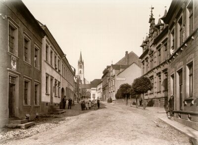 200 m
Place Names / Local History
Ortsgeschichte Hermeskeil
 200 m
Chartered Towns