Place Names / Local History · Early Middle Ages / Romanesque
Ortsgeschichte

Description
This description is only available in German.
Translate with Google opens this page in Google Translate (external service)
Vor 771 wurde Öfflingen und damit auch der heutige Ort Wallscheid dem Kloster Echternach geschenkt. Die Herren von Manderscheid wurden von der Abtei als Vögte eingesetzt. Ab 1794 stand Wallscheid unter französischer Herrschaft, 1814 wurde der Ort auf dem Wiener Kongress dem Königreich Preußen zugeordnet. Seit 1946 ist er Teil des neu gegründeten Landes Rheinland-Pfalz. [1]
Classification
- Subject area
- History
- Category
- Place Names / Local History
- Date
- Vor 771
Location
- District
- Bernkastel-Wittlich
- Collective municipality
- Wittlich-Land
- Municipality
- Wallscheid
- Street
- Hauptstraße
- Field name
- Auf der Wies
- Coordinates
- WGS 84: 50.097490, 6.883864 (Position: exact) WGS 84: 50° 05′ 51.0″ N, 6° 53′ 01.9″ E UTM 32 (ETRS89): E 348656 · N 5551615
Sources
Data sources
- [1] Seite "Wallscheid". In: Wikipedia, Die freie Enzyklopädie. Bearbeitungsstand: 31. Juli 2012, 01:35 UTC. URL: http://de.wikipedia.org/w/index.php?title=Wallscheid&oldid=106198942 (Abgerufen: 11. August 2012, 07:40 UTC)
On the internet
Picture credits
- Picture 1: © Friedbert Wißkirchen, Daun, 2012.
Last edited: 11 Aug 2012 Object ID: 24938
https://kulturdb.de/en/objekt/24938-wallscheid-ortsgeschichte
Nearby
The nearest objects
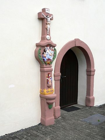 30 m
Wayside Shrines and Stations of the Cross
Sankt Cornelius - Bildstock
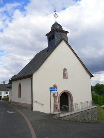 40 m
Chapels
Sankt Cornelius
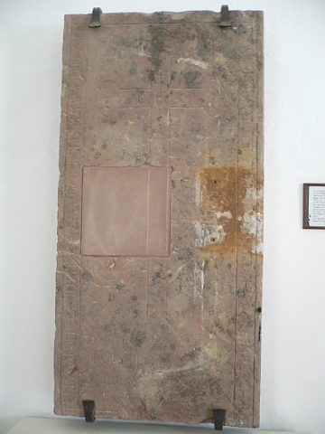 40 m
Burial Sites
Sankt Cornelius - Grabplatte
Settlements
Römische Mauerzüge
Wayside Shrines and Stations of the Cross
Wegekreuz
Field Names
Auf Reilenheld
Field Names
Beim Breitentriesch
Field Names