Prisons · 20th Century
Ehemaliges Lager


© GeoBasis-DE / LVermGeoRP, dl-de/by-2-0
There is no picture of this object yet. Do you have a photo that you would like to make available to the Kulturdatenbank? Submit a picture
Description
This description is only available in German.
Translate with Google opens this page in Google Translate (external service)
Lager für Luxemburger, Holländer, Spanier, Jugoslawen, Polen, Russen, Ukrainer und Italiener, die beim Autobahnbau eingesetzt waren.
[Günter Hesse und Wolfgang Schmitt-Kölzer: Manderscheid. Hrsg.: Verbandsgemeinde Manderscheid 1986.]
Classification
- Subject area
- History
- Category
- Legal Monuments
- Object type
- Prisons
- Date
- 1940
- Period
- 20th Century
Location
- District
- Bernkastel-Wittlich
- Collective municipality
- Wittlich-Land
- Municipality
- Laufeld
- Field name
- Zwischen den Wegen
- Coordinates
- WGS 84: 50.077390, 6.866567 (Position: within the village) WGS 84: 50° 04′ 38.6″ N, 6° 51′ 59.6″ E UTM 32 (ETRS89): E 347355 · N 5549415
Sources
Data sources
- Günter Hesse und Wolfgang Schmitt-Kölzer: Manderscheid. Hrsg.: Verbandsgemeinde Manderscheid 1986.
On the internet
Last edited: 11 Aug 2012 Object ID: 24939
https://kulturdb.de/en/objekt/24939-laufeld-ehemaliges-lager
Nearby
The nearest objects
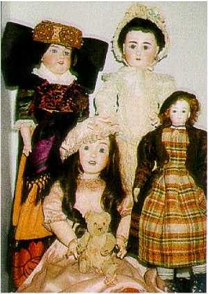 230 m
Museums
Puppenmuseum
Rectories
Pfarrhaus
Rectories
Pfarrgarten
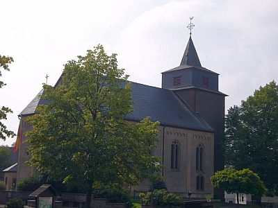 260 m
Catholic Churches
Sankt Willibrord
Fountains and Wells
Pumpbrunnen
Cremation Graves
Fünf Grabhügel
Schools
Ehemalige Schule
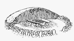 360 m
Burial Mounds