Field Names · Undated
Kimm


© GeoBasis-DE / LVermGeoRP, dl-de/by-2-0
There is no picture of this object yet. Do you have a photo that you would like to make available to the Kulturdatenbank? Submit a picture
Description
This description is only available in German.
Translate with Google opens this page in Google Translate (external service)
Kimm (caminus). Heerstraße, Römerstraße. Durch die im Gemeindewald Malborn mit "Kimm" bezeichneten Abteilungen 6 und 7 führte die Römerstraße Trier-Königsfeld (Geisfeld)-Frauenberg-Worms.
Classification
- Subject area
- History
- Category
- Field Names
- Date
- Undatiert
- Period
- Undated
Location
- District
- Bernkastel-Wittlich
- Collective municipality
- Thalfang am Erbeskopf
- Municipality
- Malborn
- Field name
- Vor der Kimm
- Coordinates
- WGS 84: 49.689329, 6.991709 (Position: exact) WGS 84: 49° 41′ 21.6″ N, 6° 59′ 30.2″ E UTM 32 (ETRS89): E 355151 · N 5506026
Sources
Data sources
- Willi Schmitt und Kurt Bach: Malborn – Ein Hochwalddorf und seine Geschichte. Hrsg.: Gemeinde Malborn, 1981.
On the internet
Last edited: 12 Aug 2012 Object ID: 24949
https://kulturdb.de/en/objekt/24949-malborn-kimm
Nearby
The nearest objects
Monastic Complexes
Ehemaliges Kloster Wüstenbrühl
Pilgrimage Sites
Ehemalige Allerheiligenkapelle
Field Names
Triangel
Field Names
Beim Mühlenborn
Field Names
Im Böllertriesch
Catholic Churches
Maria Himmelfahrt
 510 m
Natural Landscapes
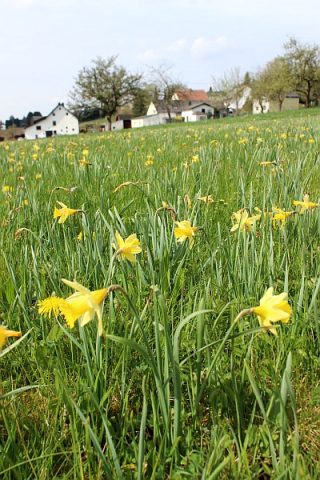
Narzissenwiese
Field Names