Fountains and Wells · Undated
Weiberborn


© GeoBasis-DE / LVermGeoRP, dl-de/by-2-0
There is no picture of this object yet. Do you have a photo that you would like to make available to the Kulturdatenbank? Submit a picture
Classification
- Subject area
- Architectural and Art Monuments
- Category
- Fountains and Wells
- Date
- Undatiert
- Period
- Undated
Location
- District
- City of Trier
- Collective municipality
- Verbandsfreie Gemeinde Trier
- Town
- Trier
- Locality / location
- Irsch
- Field name
- Beim Weiberborn
- Coordinates
- WGS 84: 49.726545, 6.699098 (Position: exact) WGS 84: 49° 43′ 35.6″ N, 6° 41′ 56.8″ E UTM 32 (ETRS89): E 334175 · N 5510768
Sources
Data sources
- [1] GeoPortal des Landes Rheinland-Pfalz. http://www.geoportal.rlp.de/
On the internet
Last edited: 23 Aug 2012 Object ID: 24969
https://kulturdb.de/en/objekt/24969-trier-weiberborn
Nearby
The nearest objects
No picture
10 m
Field Names
Im Weiberborn
No picture
50 m
Field Names
Beim Weiberborn
No picture
90 m
Field Names
Weiberborn
No picture
130 m
Field Names
Beim Herrgottsrock
No picture
140 m
Field Names
Unter Barbelsborn
 230 m
Cedars
Libanon-Zeder
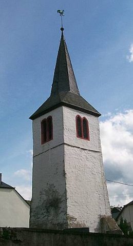 250 m
Catholic Churches
Turm der ehemaligen Pfarrkirche
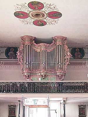 250 m
Organs