Jewish History · 20th Century
Jüdische Geschichte


© GeoBasis-DE / LVermGeoRP, dl-de/by-2-0
There is no picture of this object yet. Do you have a photo that you would like to make available to the Kulturdatenbank? Submit a picture
Description
This description is only available in German.
Translate with Google opens this page in Google Translate (external service)
Jüdische Einwohner 1933: 3 und 1938: 0.
Classification
- Subject area
- History
- Category
- Place Names / Local History
- Object type
- Jewish History
- Date
- 1933
- Period
- 20th Century
Location
- District
- Trier-Saarburg
- Collective municipality
- Trier-Land
- Municipality
- Langsur
- Field name
- Ortslage
- Coordinates
- WGS 84: 49.724119, 6.498463 (Position: within the village) WGS 84: 49° 43′ 26.8″ N, 6° 29′ 54.5″ E UTM 32 (ETRS89): E 319708 · N 5510961
Sources
Data sources
- Prof. Dr. Richard Laufner: Die Geschichte der jüdischen Bevölkerung im Gebiet des heutigen KreisesTrier-Saarburg. Jahrbuch Kreis Trier-Saarburg 1979. Hrsg. Kreisverwaltung Trier-Saarburg.
On the internet
Last edited: 17 Sep 2012 Object ID: 25099
https://kulturdb.de/en/objekt/25099-langsur-juedische-geschichte
Nearby
The nearest objects
Place Names / Local History
Ortsname / Ortsgeschichte
Settlements
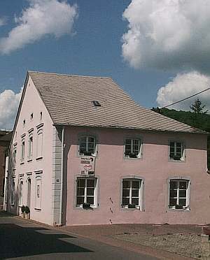
Mauern eines römischen Gebäudes
 60 m
Town Houses and Commercial Buildings
Breitgiebelhaus
Chapels
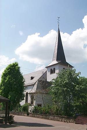
Kapelle am Friedhof
 90 m
Catholic Churches
Sankt Katharina
Wayside Shrines and Stations of the Cross
Wegekreuz
War Memorials
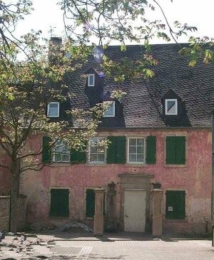
Kriegerdenkmal am Friedhof
 130 m
Farmhouses and Farm Buildings