Wayside Shrines and Stations of the Cross · Baroque / Rococo
Wegekreuz


Description
This description is only available in German.
Translate with Google opens this page in Google Translate (external service)
Inschrift:
1737
IST HIER
GESTORBEN
DER... [1]
Classification
- Subject area
- Architectural and Art Monuments
- Category
- Religious Buildings
- Object type
- Wayside Shrines and Stations of the Cross
- Date
- 1737
- Period
- Baroque / Rococo
Location
- District
- Trier-Saarburg
- Collective municipality
- Trier-Land
- Municipality
- Aach
- Field name
- Altenhoferswald
- Coordinates
- WGS 84: 49.792241, 6.622986 (Position: exact) WGS 84: 49° 47′ 32.1″ N, 6° 37′ 22.7″ E UTM 32 (ETRS89): E 328921 · N 5518242
Sources
Data sources
- [1] Hermann Ameling, Newel, 2017.
On the internet
Picture credits
Last edited: 30 Oct 2022 Object ID: 25125
https://kulturdb.de/en/objekt/25125-aach-wegekreuz
Nearby
The nearest objects
No picture
200 m
Field Names
Hinter der Steinkaul
No picture
290 m
Extraction and Processing of Raw Materials
Ehemaliger Steinbruch
 310 m
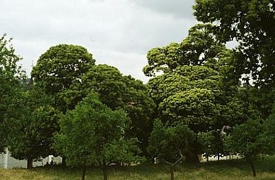
Chestnut Trees
3 Edelkastanien
310 m
Chestnut Trees
Edelkastanie
No picture
350 m
Field Names
In der Steinkaul
No picture
380 m
Cremation Graves
Gallo-römisches Brandgrab
 400 m
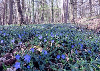
Field Names
In den Klockreisern
 430 m
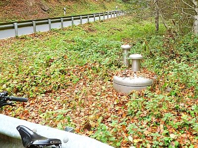
Waterworks