Wayside Shrines and Stations of the Cross · Neoclassicism
Wegekreuz


Description
This description is only available in German.
Translate with Google opens this page in Google Translate (external service)
Bildstock aus Sandstein mit Kreuzigungsrelief, am Schaft mit Jahreszahl 1826 bezeichnet. [1]
Classification
- Subject area
- Architectural and Art Monuments
- Category
- Religious Buildings
- Object type
- Wayside Shrines and Stations of the Cross
- Date
- 1826
- Period
- Neoclassicism
Location
- District
- City of Trier
- Collective municipality
- Verbandsfreie Gemeinde Trier
- Town
- Trier
- Locality / location
- Zewen
- Street
- Wasserbilliger Straße 65 B
- Field name
- Unterm Thorn
- Coordinates
- WGS 84: 49.715389, 6.574968 (Position: exact) WGS 84: 49° 42′ 55.4″ N, 6° 34′ 29.9″ E UTM 32 (ETRS89): E 325190 · N 5509810
Sources
Data sources
- [1] Michael Grün, Trier, 2020.
On the internet
de.wikipedia.org/wiki/Trier-Zewen
Picture credits
Last edited: 23 Nov 2020 Object ID: 25183
https://kulturdb.de/en/objekt/25183-trier-wegekreuz
Nearby
The nearest objects
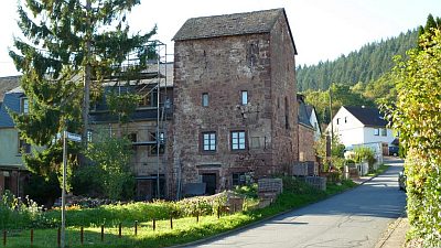 50 m
Town Fortifications
Sogenannter Zewener Turm
50 m
Deserted Settlements
Zewener Thor
Fortresses and Bunkers
Westwall - Bunker
Fortresses and Bunkers
Westwall - Maschinengewehr-Schartenstand
Fortresses and Bunkers
Westwall - Gefechtsstand (Inf. Komp.führer)
Fortresses and Bunkers
Westwall - Maschinengewehr-Schartenstand
Fortresses and Bunkers
Westwall - Maschinengewehr-Schartenstand
Fortresses and Bunkers