Jewish History · 20th Century
Jüdische Geschichte Nieder-Fell


Description
This description is only available in German.
Translate with Google opens this page in Google Translate (external service)
Classification
- Subject area
- History
- Category
- Place Names / Local History
- Object type
- Jewish History
- Date
- 1933
- Period
- 20th Century
Location
- District
- Trier-Saarburg
- Collective municipality
- Schweich an der römischen Weinstraße
- Municipality
- Fell
- Field name
- In den Niedserfeller Wiesen
- Coordinates
- WGS 84: 49.779470, 6.774750 (Position: presumed) WGS 84: 49° 46′ 46.1″ N, 6° 46′ 29.1″ E UTM 32 (ETRS89): E 339801 · N 5516488
Sources
Data sources
- [1] Synagogen. Rheinland-Pfalz - Saarland. Hrsg.: Landesamt für Denkmalpflege Rheinland-Pfalz mit dem Staatlichen Konservatoramt des Saarlandes und dem Synagogue Memorial Jerusalem. Verlag Philipp von Zabern, Mainz, 2005. ISBN 3-8053-3313-7
- [2] Prof. Dr. Richard Laufner: Die Geschichte der jüdischen Bevölkerung im Gebiet des heutigen KreisesTrier-Saarburg. Jahrbuch Kreis Trier-Saarburg 1979. Hrsg. Kreisverwaltung Trier-Saarburg.
- [3] Bärsch: Beschreibung des Regierungsbezirks Trier nach amtlichen Quellen. Bd. 2, Trier, 1846.
On the internet
Picture credits
Last edited: 10 Oct 2012 Object ID: 25250
https://kulturdb.de/en/objekt/25250-fell-juedische-geschichte-nieder-fell
Nearby
The nearest objects
 240 m
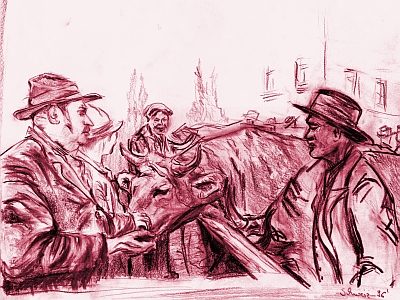
Market Towns
Marktort Fell
 280 m
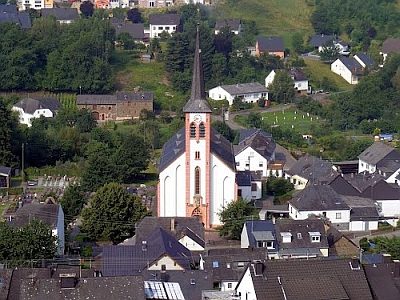
Catholic Churches
Sankt Martin
No picture
350 m
Mills
Niederfeller Mühle am Fellerbach
No picture
380 m
Field Names
In den Stauden
No picture
540 m
Wayside Shrines and Stations of the Cross
Wegekreuz
 550 m
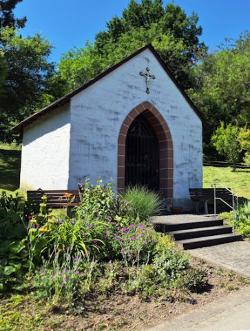
Chapels
Kapelle Sankt Josef
 680 m
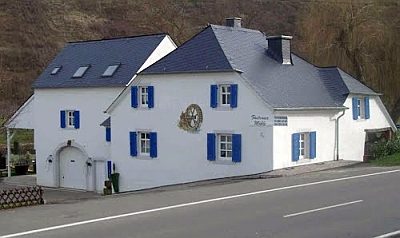
Mills
Fastrauer Mühle
 740 m
Mineral Springs