Jewish History · Neoclassicism
Jüdische Geschichte Maar


© GeoBasis-DE / LVermGeoRP, dl-de/by-2-0
There is no picture of this object yet. Do you have a photo that you would like to make available to the Kulturdatenbank? Submit a picture
Description
This description is only available in German.
Translate with Google opens this page in Google Translate (external service)
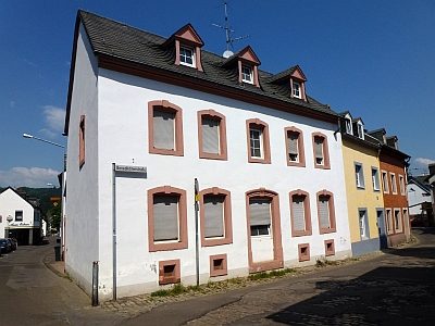
Jüdische Einwohner 1843 im Vorort Maar (Straß-Maar) Pallast Mahr: 72
Classification
- Subject area
- History
- Category
- Place Names / Local History
- Object type
- Jewish History
- Date
- 1843
- Period
- Neoclassicism
Location
- District
- City of Trier
- Collective municipality
- Verbandsfreie Gemeinde Trier
- Town
- Trier
- Locality / location
- Trier-Nord
- Field name
- Ortslage
- Coordinates
- WGS 84: 49.763498, 6.644828 (Position: within the village) WGS 84: 49° 45′ 48.6″ N, 6° 38′ 41.4″ E UTM 32 (ETRS89): E 330393 · N 5514998
Sources
On the internet
Last edited: 14 Apr 2012 Object ID: 25276
https://kulturdb.de/en/objekt/25276-trier-nord-juedische-geschichte-maar
Nearby
The nearest objects
 20 m
Settlements
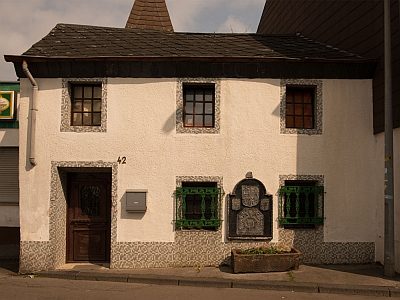
Historische Siedlung Maar
 30 m
Vineyard Sites
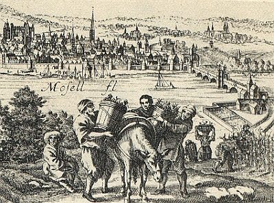
Im Maar (Stagnum)
 50 m
Wayside Shrines and Stations of the Cross
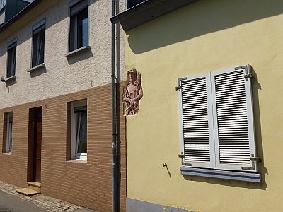
Sandstein-Hochrelief
Town Houses and Commercial Buildings
Doppelhaus
 70 m
Town Houses and Commercial Buildings
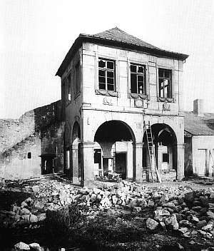
Ehemaliges Gartenhaus Maarstraße
Roman Tombs
Römische Gräber und Grabbauten
Town Houses and Commercial Buildings
Tagelöhnerhaus
 90 m
Schools