Jewish History · Neoclassicism
Jüdische Geschichte Paulin


© GeoBasis-DE / LVermGeoRP, dl-de/by-2-0
There is no picture of this object yet. Do you have a photo that you would like to make available to the Kulturdatenbank? Submit a picture
Description
This description is only available in German.
Translate with Google opens this page in Google Translate (external service)
Jüdische Einwohner 1843 im Vorort Paulin (Straß Paulin und Maximin) (Saint Paulin St. Maximin): 17 [1]
Classification
- Subject area
- History
- Category
- Place Names / Local History
- Object type
- Jewish History
- Date
- 1843
- Period
- Neoclassicism
Location
- District
- City of Trier
- Collective municipality
- Verbandsfreie Gemeinde Trier
- Town
- Trier
- Locality / location
- Trier-Nord
- Street
- Paulinstraße
- Field name
- Ortslage
- Coordinates
- WGS 84: 49.761477, 6.646835 (Position: exact) WGS 84: 49° 45′ 41.3″ N, 6° 38′ 48.6″ E UTM 32 (ETRS89): E 330530 · N 5514768
Sources
Data sources
- [1] Bärsch: Beschreibung des Regierungsbezirks Trier nach amtlichen Quellen. Bd. 2, Trier, 1846.
On the internet
Last edited: 10 Oct 2012 Object ID: 25279
https://kulturdb.de/en/objekt/25279-trier-nord-juedische-geschichte-paulin
Nearby
The nearest objects
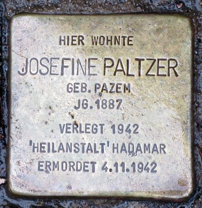 less than 10 m
Stolpersteine (Stumbling Stones)
Stolperstein für Josefine Paltzer
Exhibitions, Cultural Centres and Memorial Sites
Galerie Markus Nohn
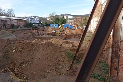 60 m
Burial Mounds
Gräberfeld
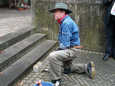 60 m
Stolpersteine (Stumbling Stones)
Stolperstein für Katharina Millen
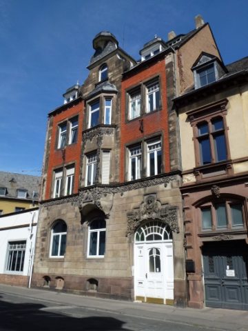 60 m
Town Houses and Commercial Buildings
Dreigeschossiges Etagenmietshaus (1)
 60 m
Town Houses and Commercial Buildings
Dreigeschossiges Etagenmietshaus (2)
 70 m
Stolpersteine (Stumbling Stones)
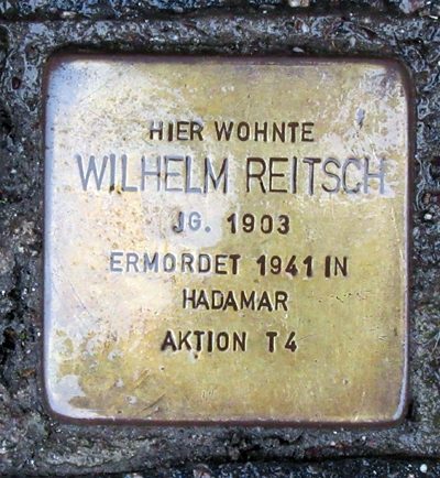
Stolperstein für Wilhelm Reitsch
 70 m
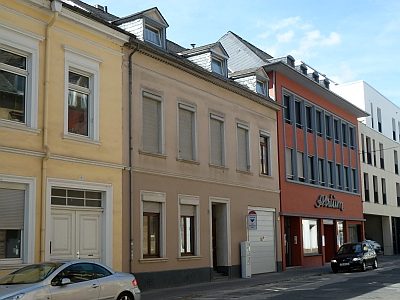
Town Houses and Commercial Buildings