Wayside Shrines and Stations of the Cross · 20th Century
Steinerkreuz


© GeoBasis-DE / LVermGeoRP, dl-de/by-2-0
There is no picture of this object yet. Do you have a photo that you would like to make available to the Kulturdatenbank? Submit a picture
Description
This description is only available in German.
Translate with Google opens this page in Google Translate (external service)
Als 1843 die Provinzialstraße gebaut wurde, hat man das Kreuz an seinem jetzigen Standort errichtet. 1927 wurde es von Familie Weber erneuert. Das Kreuz aus Eichenholz wird noch von älteren Bewohnern des "Unterdorfes" "Stoffelskreuz" genannt.
1982 hat herr Weber, genannt Stoffels Thias, das Kreuz abermals erneuert und zwei Bäume gepflanzt. [1]
Classification
- Subject area
- Architectural and Art Monuments
- Category
- Religious Buildings
- Object type
- Wayside Shrines and Stations of the Cross
- Date
- 1982
- Period
- 20th Century
- Creator, builder, architect, artist
- Weber
Location
- District
- Trier-Saarburg
- Town
- Hermeskeil
- Field name
- Am Rascheiderweg
- Coordinates
- WGS 84: 49.664814, 6.948165 (Position: exact) WGS 84: 49° 39′ 53.3″ N, 6° 56′ 53.4″ E UTM 32 (ETRS89): E 351936 · N 5503386
Sources
Data sources
- [1] Aus dem Hochwald. Wegekreuze und Gedenksteine. Hrsg. Arbeitskreis Heimatkunde Bildungswerk Johanneshaus Hermeskeil. Hermeskeil 1991.
On the internet
Last edited: 15 Oct 2012 Object ID: 25296
https://kulturdb.de/en/objekt/25296-hermeskeil-steinerkreuz
Nearby
The nearest objects
Field Names
Auf Jüngeldriesch
Field Names
Am Rascheiderweg zur Langfuhr
Field Names
Vor Kölnischborn
Field Names
In der Langfuhr
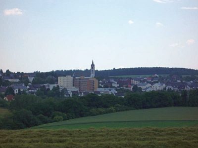 350 m
Viewpoints
Aussichtspunkt Kapelle am Erzberg
Field Names
Vor Adrech
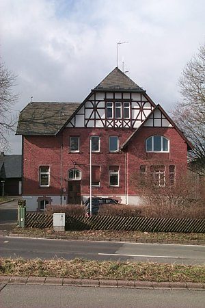 410 m
Forester's Lodges
Forstamt Hermeskeil-Ost
 440 m
Field Names