Wayside Shrines and Stations of the Cross · Historicism / Art Nouveau
Sogenanntes Schneidischkreuz


© GeoBasis-DE / LVermGeoRP, dl-de/by-2-0
There is no picture of this object yet. Do you have a photo that you would like to make available to the Kulturdatenbank? Submit a picture
Description
This description is only available in German.
Translate with Google opens this page in Google Translate (external service)
[...] Hier erlitt ein Fuhrmann auf seinem Fuhrwerk einen Schlaganfall, stürzte vom Wagen, wurde überfahren und erlitt den Tod. [1]
Classification
- Subject area
- Architectural and Art Monuments
- Category
- Religious Buildings
- Object type
- Wayside Shrines and Stations of the Cross
- Date
- 1890
Location
- District
- Trier-Saarburg
- Collective municipality
- Hermeskeil
- Municipality
- Beuren (Hochwald)
- Locality / location
- Beuren
- Field name
- Steinkopf
- Coordinates
- WGS 84: 49.717889, 6.905207 (Position: exact) WGS 84: 49° 43′ 04.4″ N, 6° 54′ 18.7″ E UTM 32 (ETRS89): E 349001 · N 5509371
Sources
Data sources
- [1] Aus dem Hochwald. Wegekreuze und Gedenksteine. Hrsg. Arbeitskreis Heimatkunde Bildungswerk Johanneshaus Hermeskeil. Hermeskeil 1991.
On the internet
Last edited: 15 Oct 2012 Object ID: 25307
https://kulturdb.de/en/objekt/25307-beuren-hochwald-sogenanntes-schneidischkreuz
Nearby
The nearest objects
Viewpoints
Aussichtspunkt Wegekreuz am Heidkopf
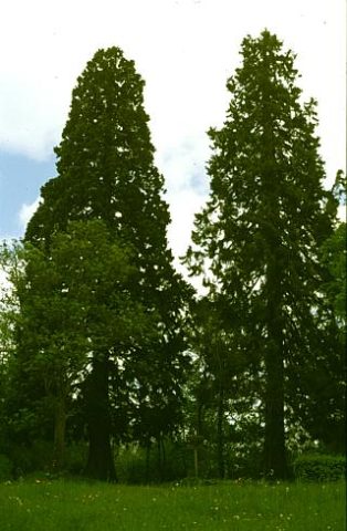 200 m
Giant Sequoias
Bergmammutbaum
210 m
Giant Sequoias
Bergmammutbaum
Field Names
Vor dem Unner
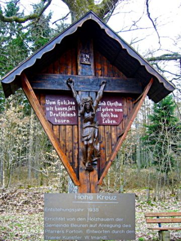 220 m
Wayside Shrines and Stations of the Cross
Hohes Kreuz
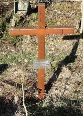 260 m
Wayside Shrines and Stations of the Cross
Kreuz im Schusterstich
Field Names
Im Unner
Extraction and Processing of Raw Materials