Wayside Shrines and Stations of the Cross · 20th Century
Wegekreuz

Description
This description is only available in German.
Translate with Google opens this page in Google Translate (external service)
Das Kreuz soll alle Vorbeigehenden - durch seine ständig wechselnden Inschriften - zu einem kurzen Verweilen und Besinnen einladen. [1]
Classification
- Subject area
- Architectural and Art Monuments
- Category
- Religious Buildings
- Object type
- Wayside Shrines and Stations of the Cross
- Date
- 1988
- Period
- 20th Century
Location
- District
- Trier-Saarburg
- Collective municipality
- Hermeskeil
- Municipality
- Reinsfeld
- Street
- Ecke Ahlbertstraße / Friedhofstraße
- Field name
- Ortslage
- Coordinates
- WGS 84: 49.676905, 6.872660 (Position: exact) WGS 84: 49° 40′ 36.9″ N, 6° 52′ 21.6″ E UTM 32 (ETRS89): E 346526 · N 5504881
Sources
Data sources
- [1] Aus dem Hochwald. Wegekreuze und Gedenksteine. Hrsg. Arbeitskreis Heimatkunde Bildungswerk Johanneshaus Hermeskeil. Hermeskeil 1991.
On the internet
Picture credits
- Picture 1: © Michael Grün, Trier, 2019.
Last edited: 20 Feb 2019 Object ID: 25317
https://kulturdb.de/en/objekt/25317-reinsfeld-wegekreuz
Nearby
The nearest objects
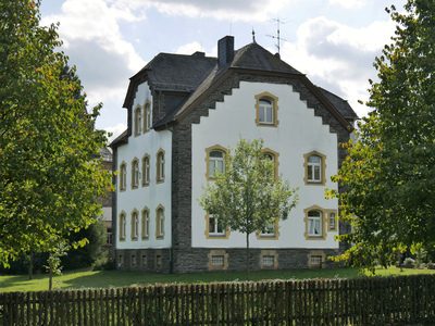 120 m
Rectories
Katholisches Pfarrhaus
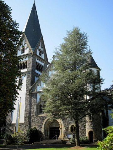 150 m
Catholic Churches
Sankt Remigius
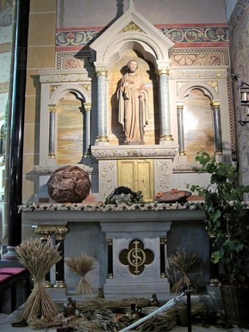 150 m
Catholic Churches
Sankt Remigius - Ausstattung
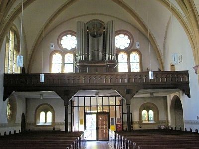 150 m
Organs
Sankt Remigius - Orgel
 160 m
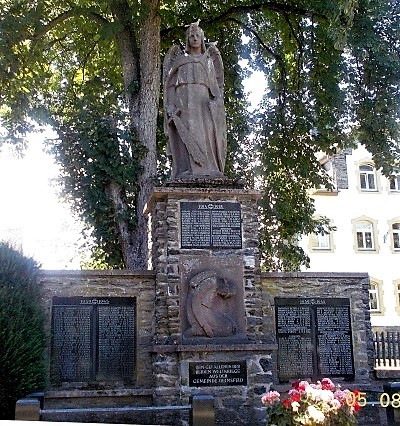
War Memorials
Kriegerdenkmal
 180 m
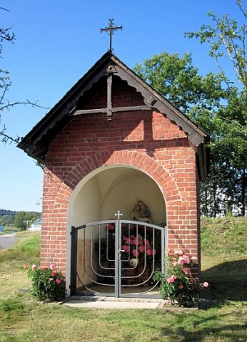
Chapels
Mutter-Gottes-Kapelle
190 m
Parish and Monastery Gardens
Sankt Remigius - Parkanlage
Exhibitions, Cultural Centres and Memorial Sites