Wayside Shrines and Stations of the Cross · 20th Century
Sogenanntes Loochen-Kreuz

Description
This description is only available in German.
Translate with Google opens this page in Google Translate (external service)
Das Holzkreuz von 1929 wurde im Jahr 1965 durch ein Betonkreuz ersetzt. [1]
Classification
- Subject area
- Architectural and Art Monuments
- Category
- Religious Buildings
- Object type
- Wayside Shrines and Stations of the Cross
- Date
- 1965
- Period
- 20th Century
Location
- District
- Trier-Saarburg
- Collective municipality
- Hermeskeil
- Municipality
- Geisfeld
- Street
- Auf der Köbs 22
- Field name
- Ortslage
- Coordinates
- WGS 84: 49.714527, 6.954396 (Position: exact) WGS 84: 49° 42′ 52.3″ N, 6° 57′ 15.8″ E UTM 32 (ETRS89): E 352536 · N 5508900
Sources
Data sources
- [1] Aus dem Hochwald. Wegekreuze und Gedenksteine. Hrsg. Arbeitskreis Heimatkunde Bildungswerk Johanneshaus Hermeskeil. Hermeskeil 1991.
On the internet
Picture credits
- Picture 1: © Norbert Kutscher, Waldweiler, 2015.
Last edited: 2 Apr 2015 Object ID: 25328
https://kulturdb.de/en/objekt/25328-geisfeld-sogenanntes-loochen-kreuz
Nearby
The nearest objects
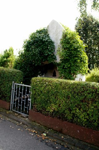 20 m
Marian Grottoes
Lourdeskapelle
Field Names
Im Heiligenfeld
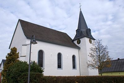 190 m
Catholic Churches
Sankt Maria Rosenkranzkönigin
Wayside Shrines and Stations of the Cross
Dorfkreuz
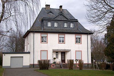 220 m
Rectories
Katholisches Pfarrhaus
Extraction and Processing of Raw Materials
Ehemaliger Schiefer-Bruch Messerkopf
Wayside Shrines and Stations of the Cross
Wegekreuz
Field Names