Wayside Shrines and Stations of the Cross · Renaissance
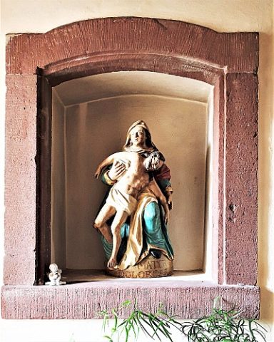
Bildstock

Classification
- Subject area
- Architectural and Art Monuments
- Category
- Religious Buildings
- Object type
- Wayside Shrines and Stations of the Cross
- Date
- Um 1600
- Period
- Renaissance
Location
- District
- Bernkastel-Wittlich
- Collective municipality
- Wittlich-Land
- Municipality
- Bruch
- Field name
- Ortslage
- Coordinates
- WGS 84: 49.956619, 6.784462 (Position: within the village) WGS 84: 49° 57′ 23.8″ N, 6° 47′ 04.1″ E UTM 32 (ETRS89): E 341083 · N 5536160
Sources
Data sources
- [1] Georg Dehio: Handbuch der deutschen Kunstdenkmäler: Rheinland-Pfalz, Saarland, 1984. Deutscher Kunstverlag
On the internet
Picture credits
- Picture 1: © Helge Rieder, Konz, 2000
Last edited: 8 Aug 2000 Object ID: 2533
https://kulturdb.de/en/objekt/2533-bruch-bildstock
Nearby
The nearest objects
 less than 10 m
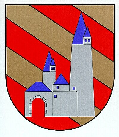
Coats of Arms
Wappen der Gemeinde Bruch
 30 m
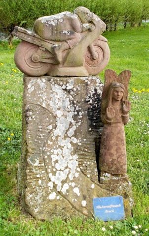
Monuments
Denkmal der Motorradfreunde Bruch
 60 m
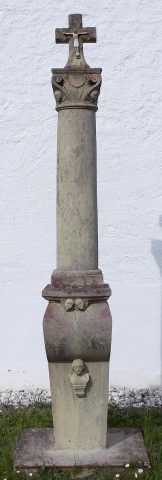
Wayside Shrines and Stations of the Cross
Pfeilerkreuz vor der Pfarrkirche
 60 m
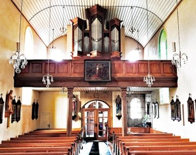
Organs
Sankt Rochus - Orgel
 70 m
War Memorials
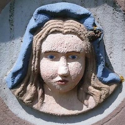
Sankt Rochus - Kriegerdenkmal
 80 m
Mills
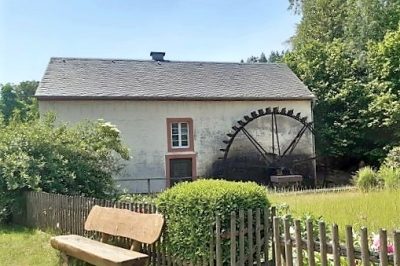
Brucher Ölmühle an der Salm (1)
 80 m
Mills
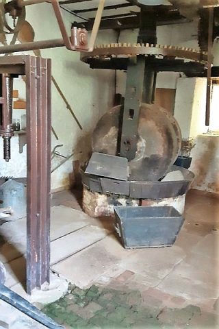
Brucher Ölmühle an der Salm (2)
 80 m
Wayside Shrines and Stations of the Cross